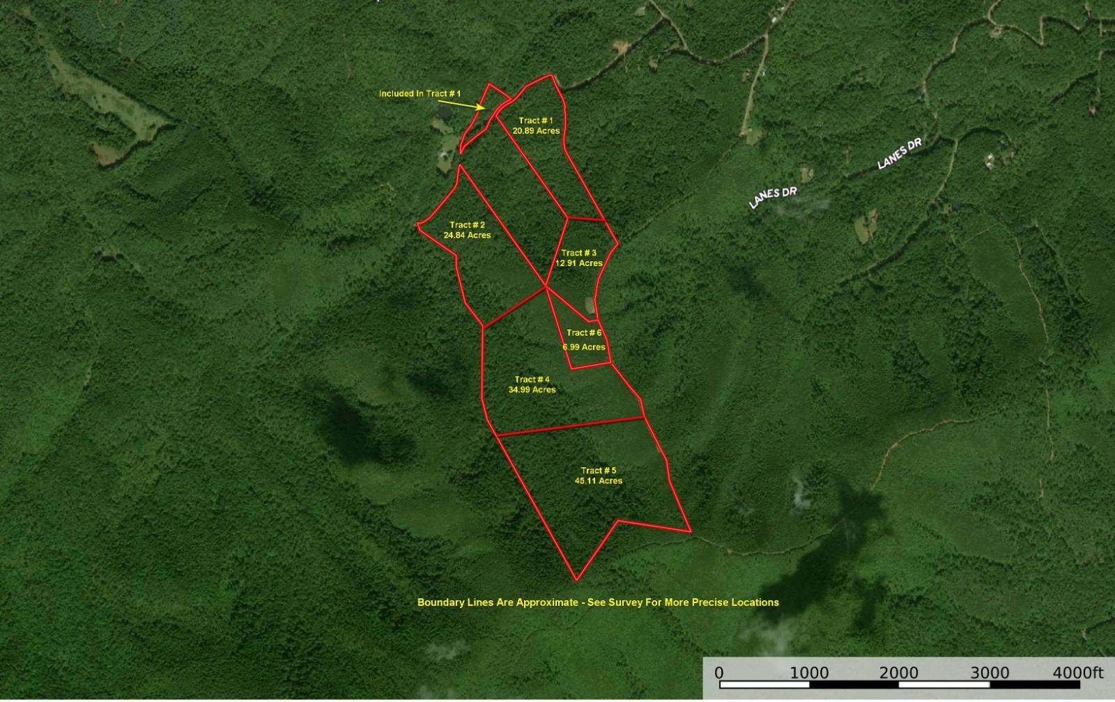
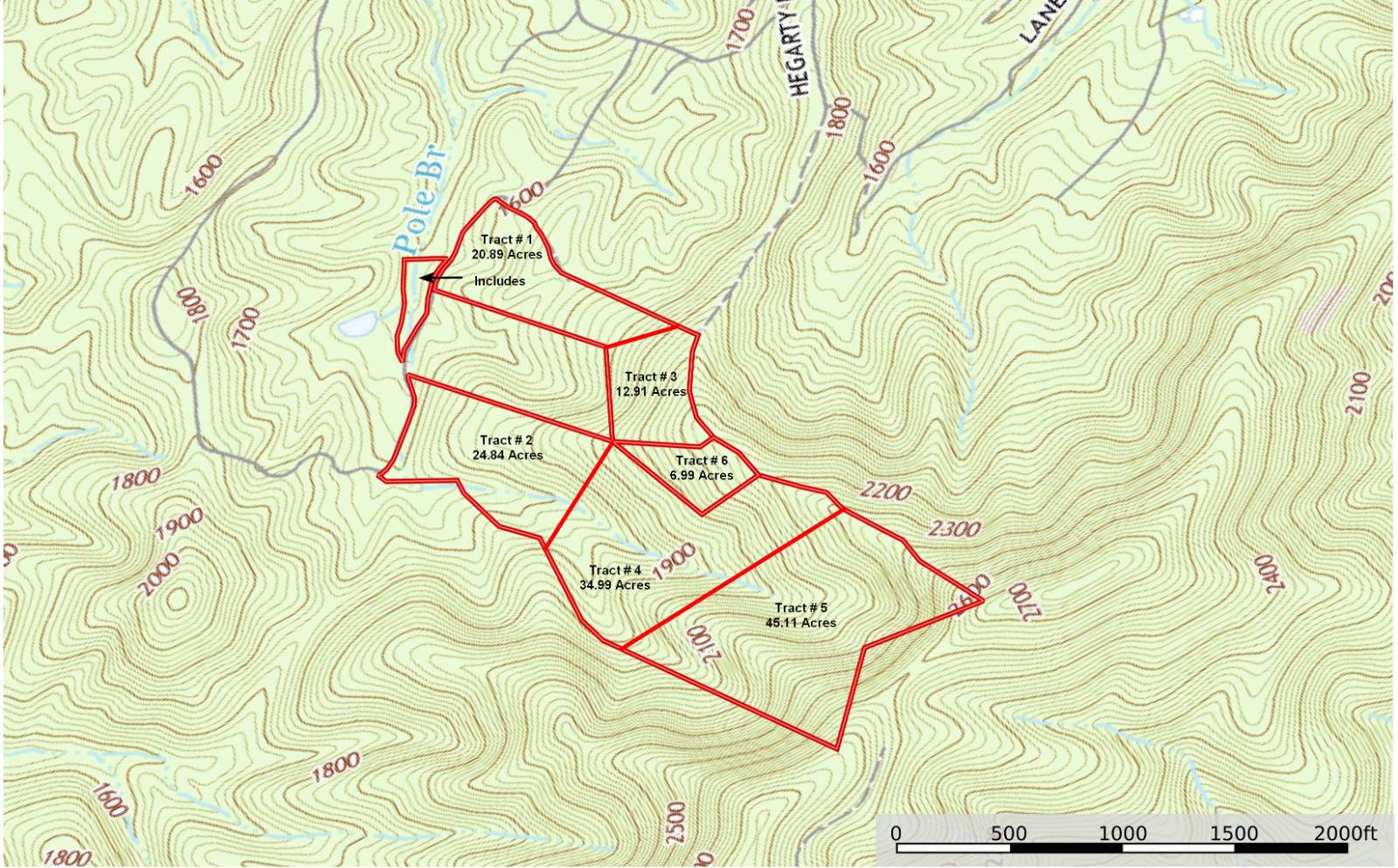
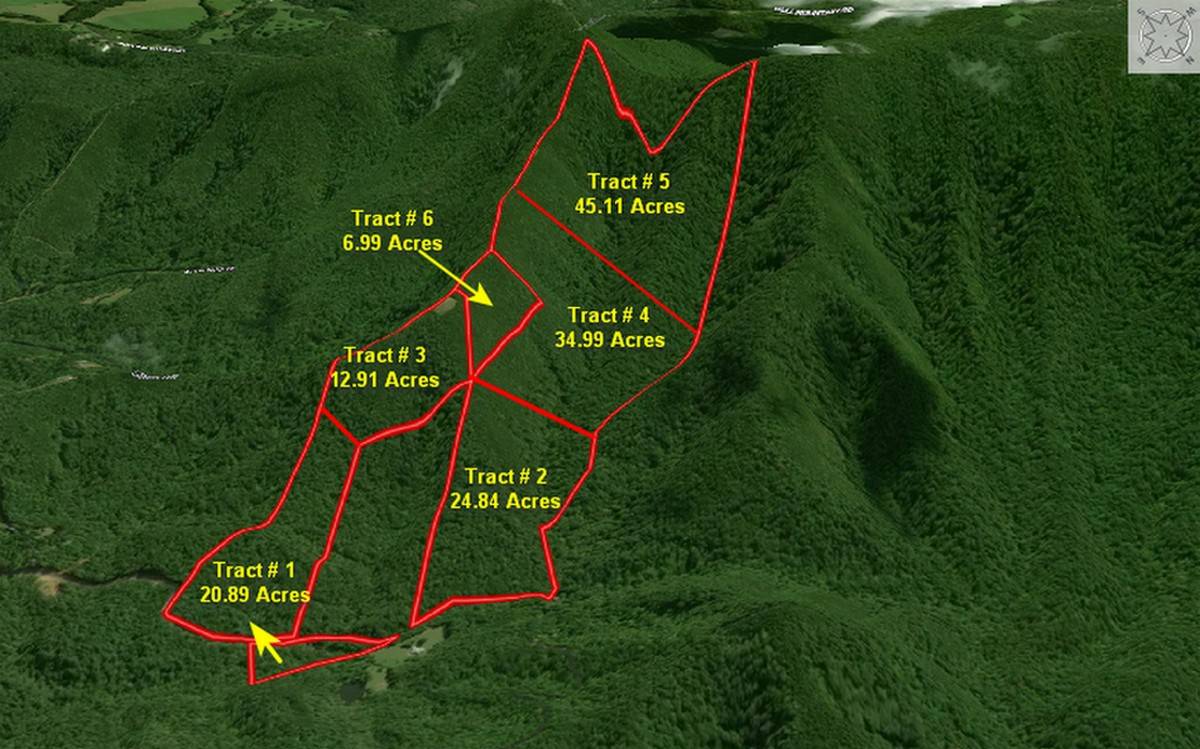
Tract #2 Of Six Tracts Of Mountain Land - Patrick County VA
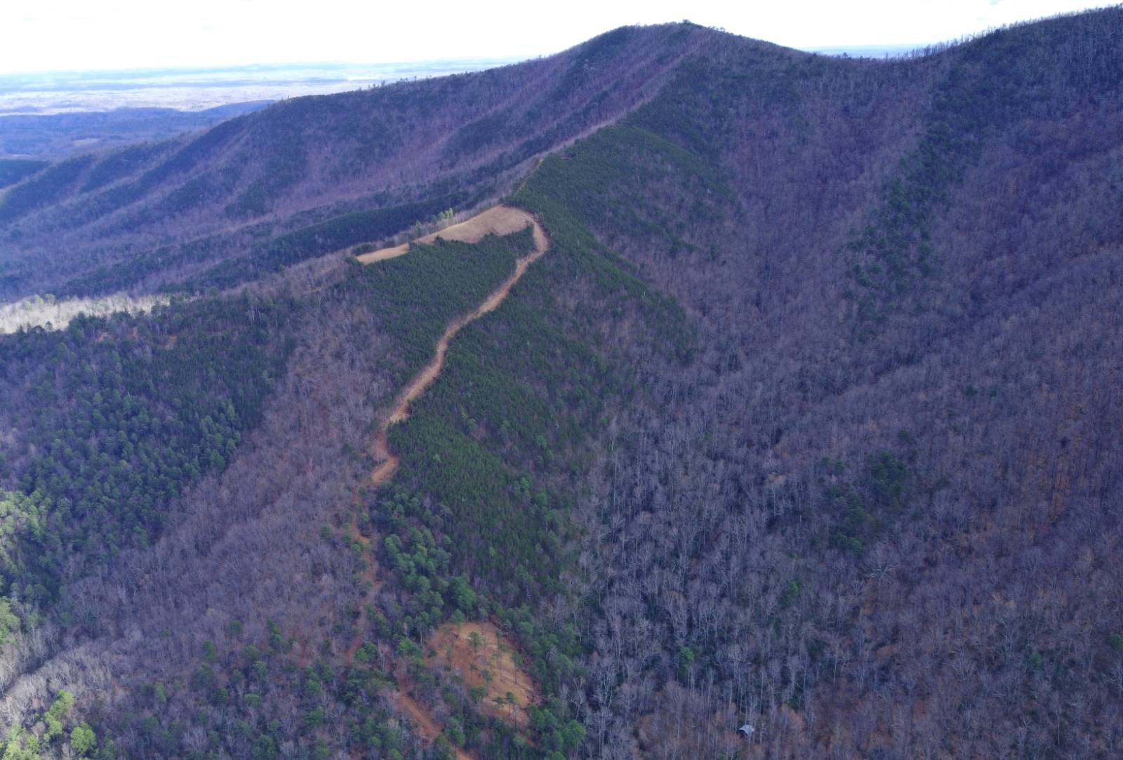
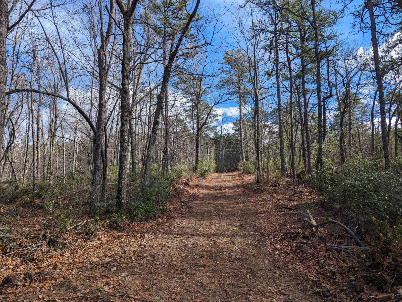
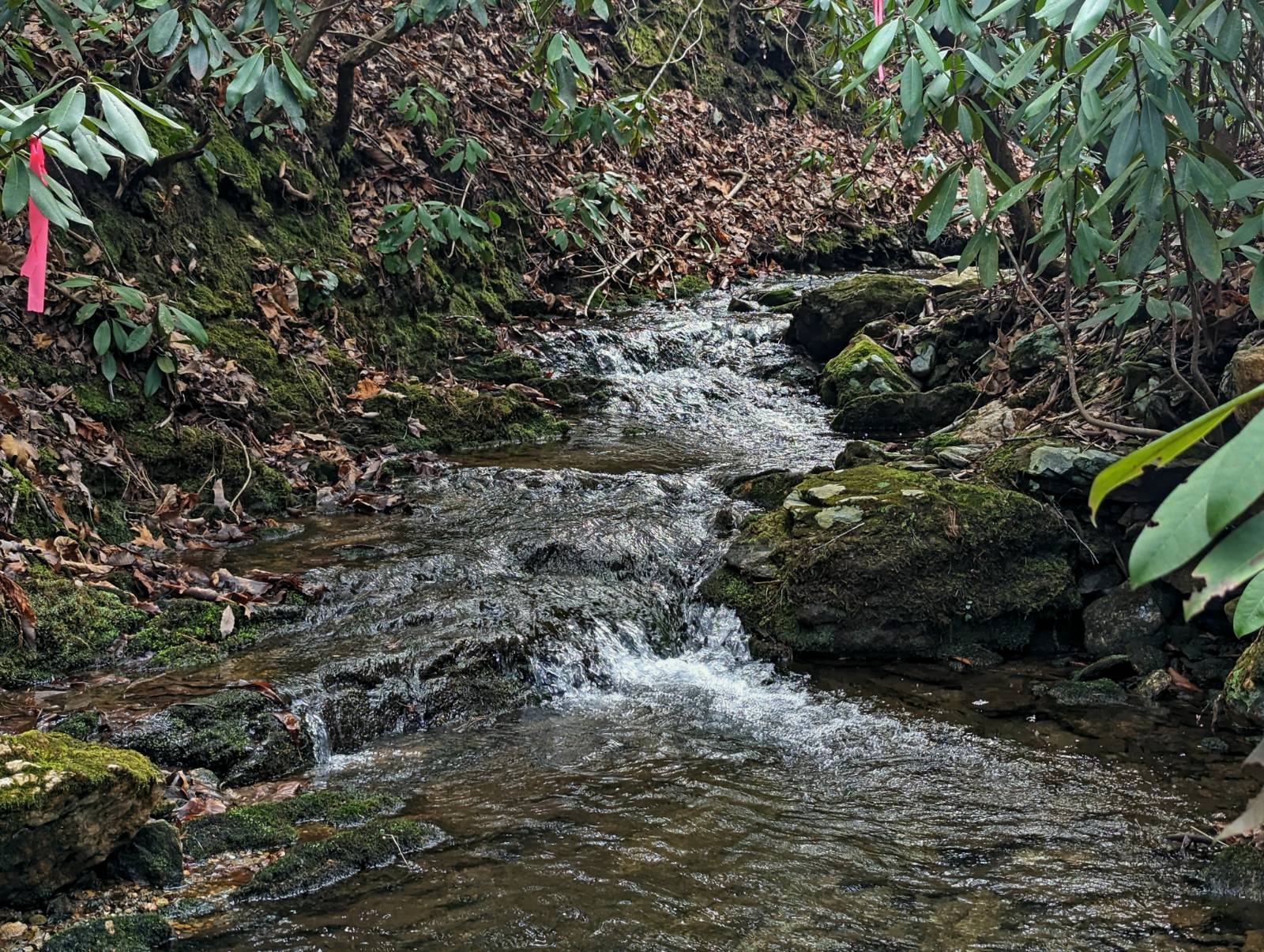
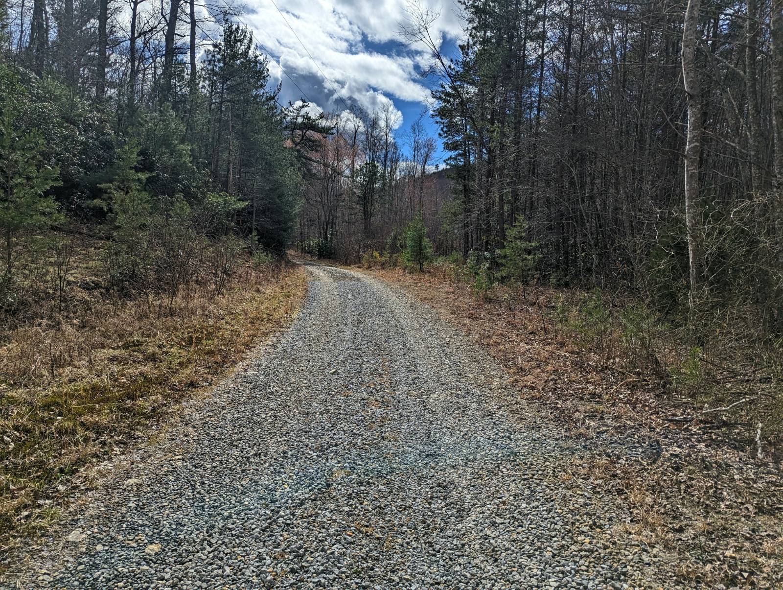
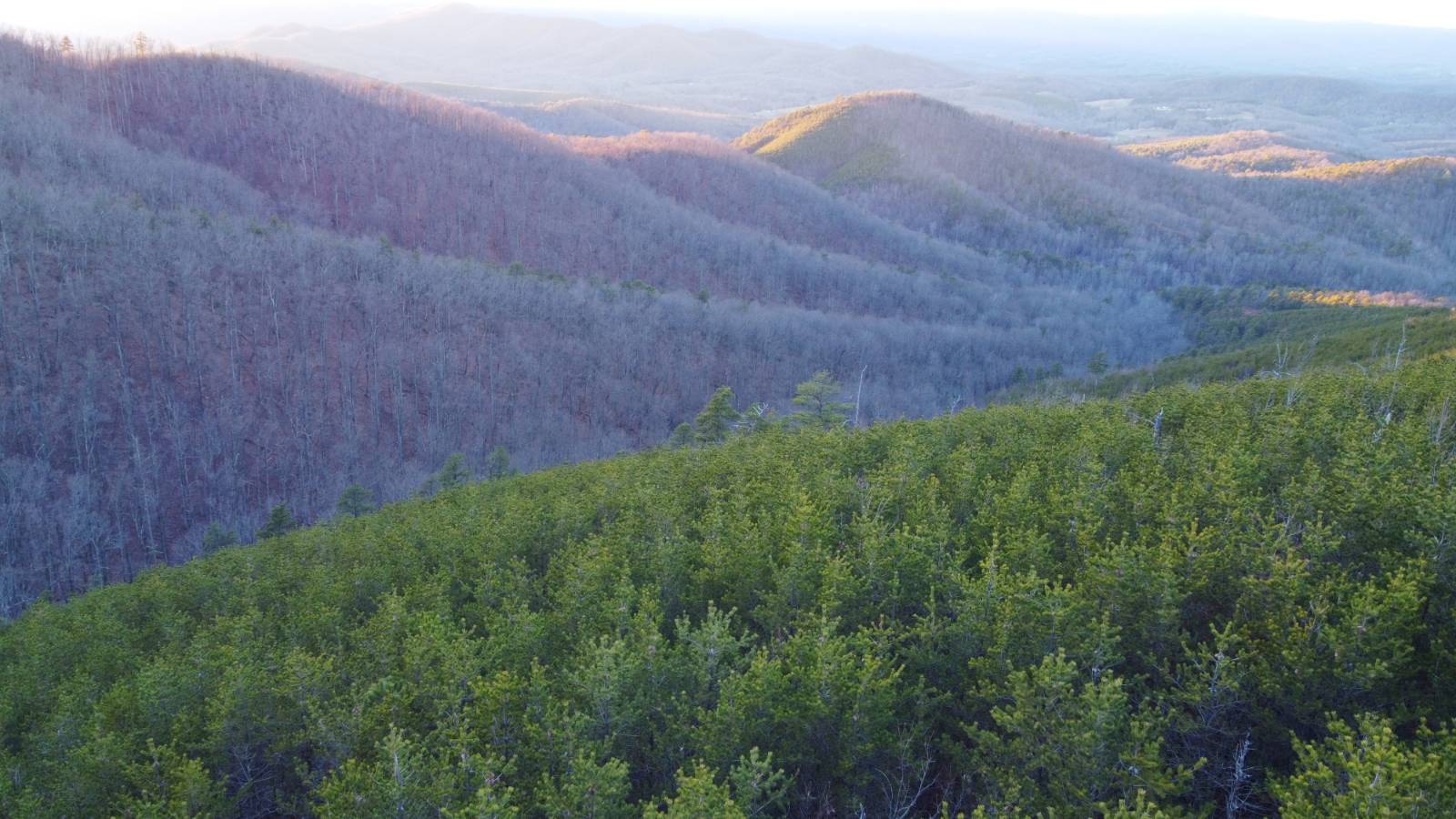
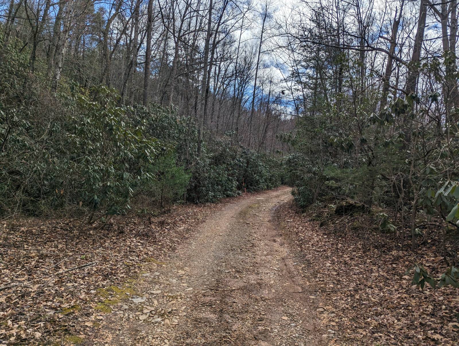
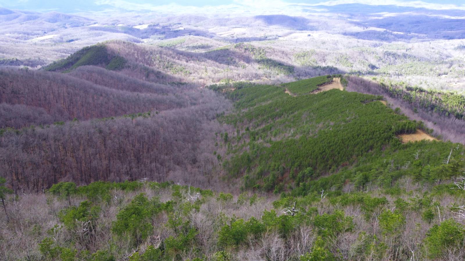
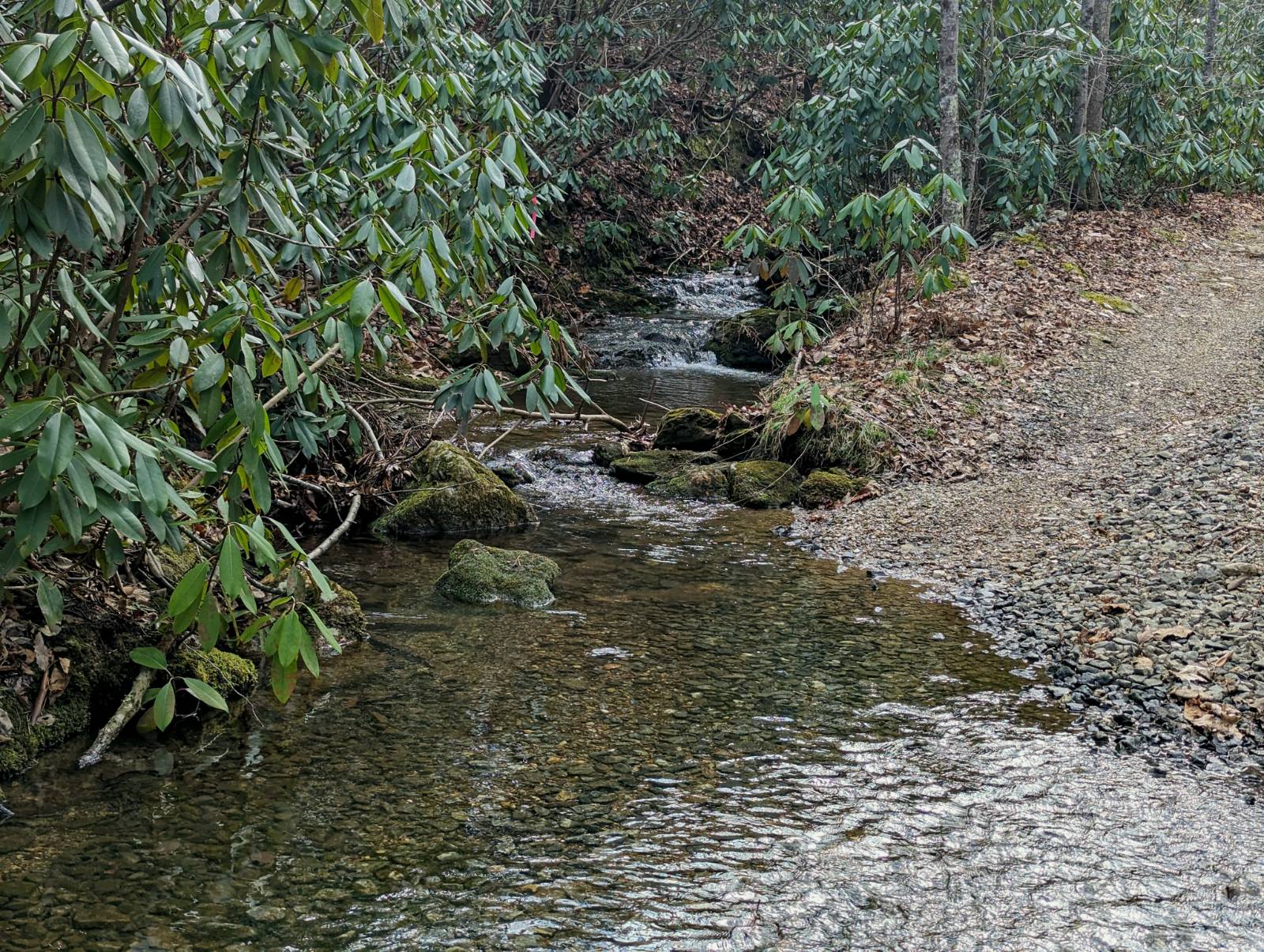
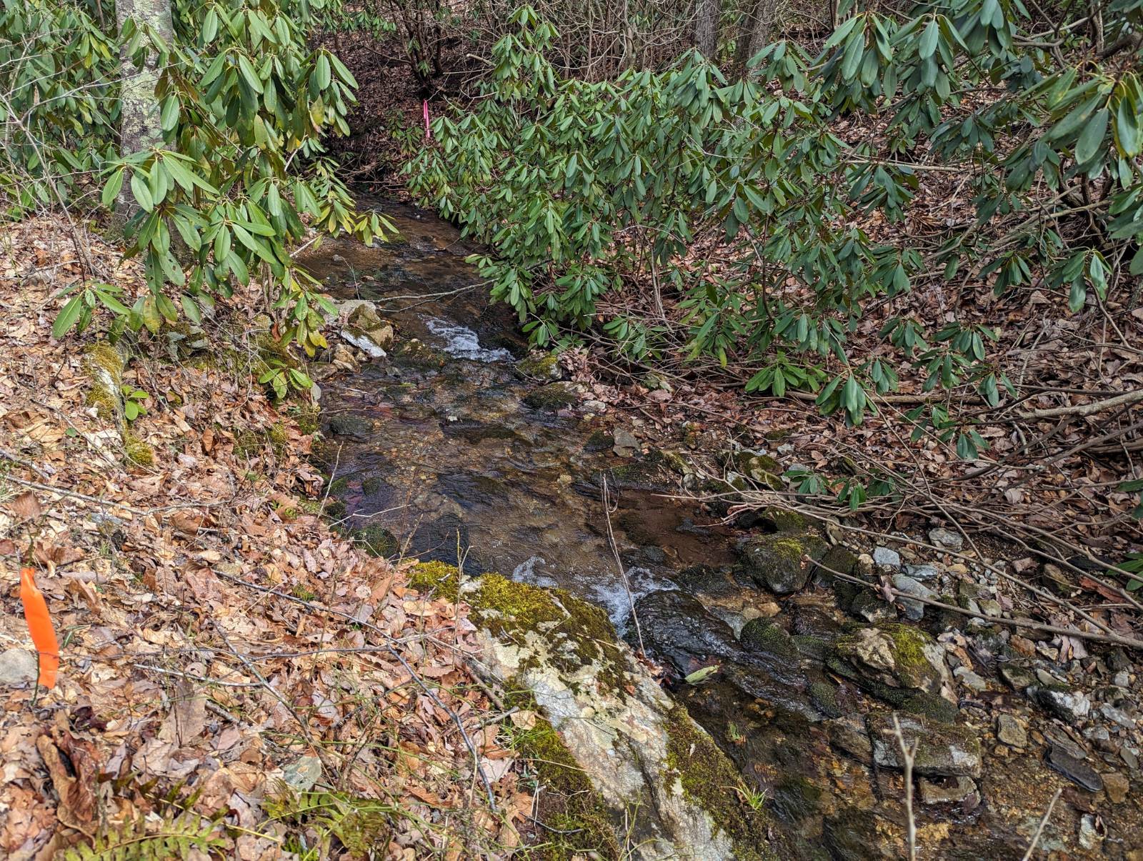
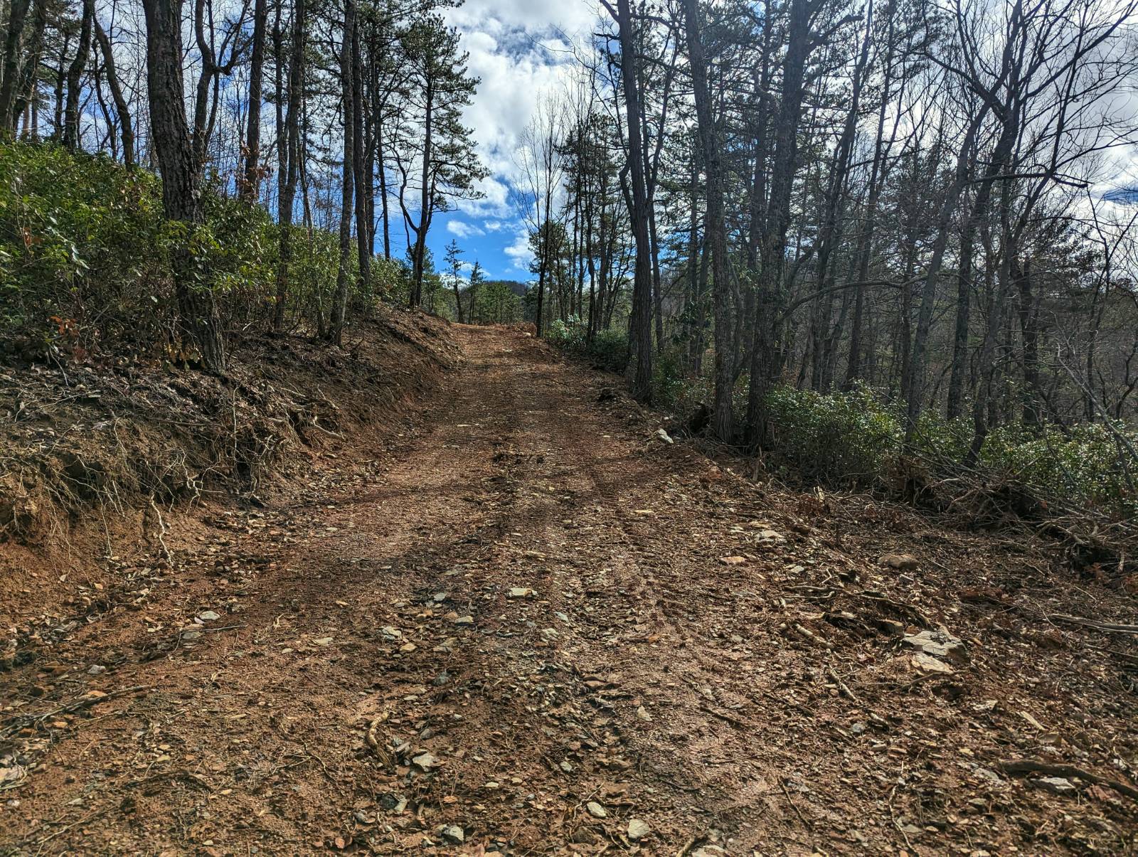
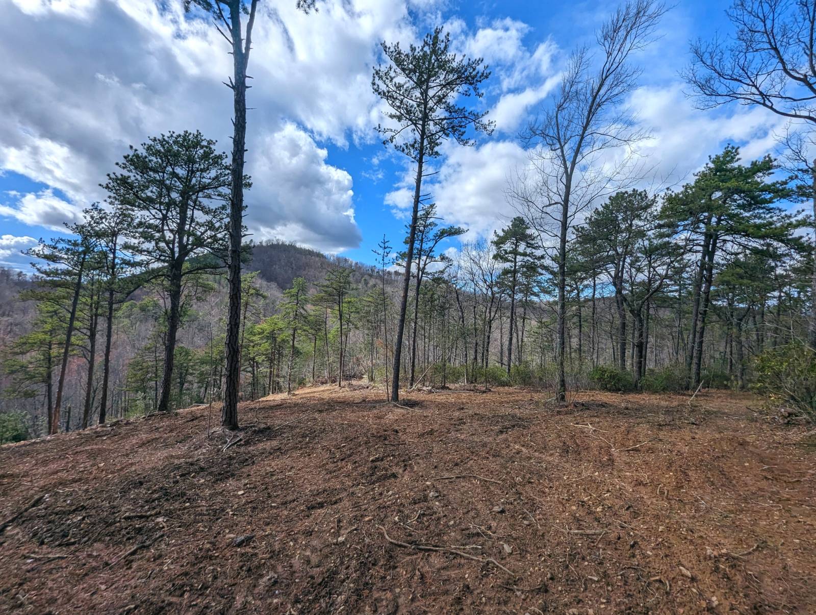
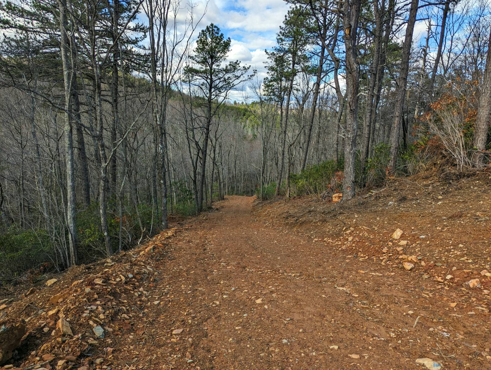
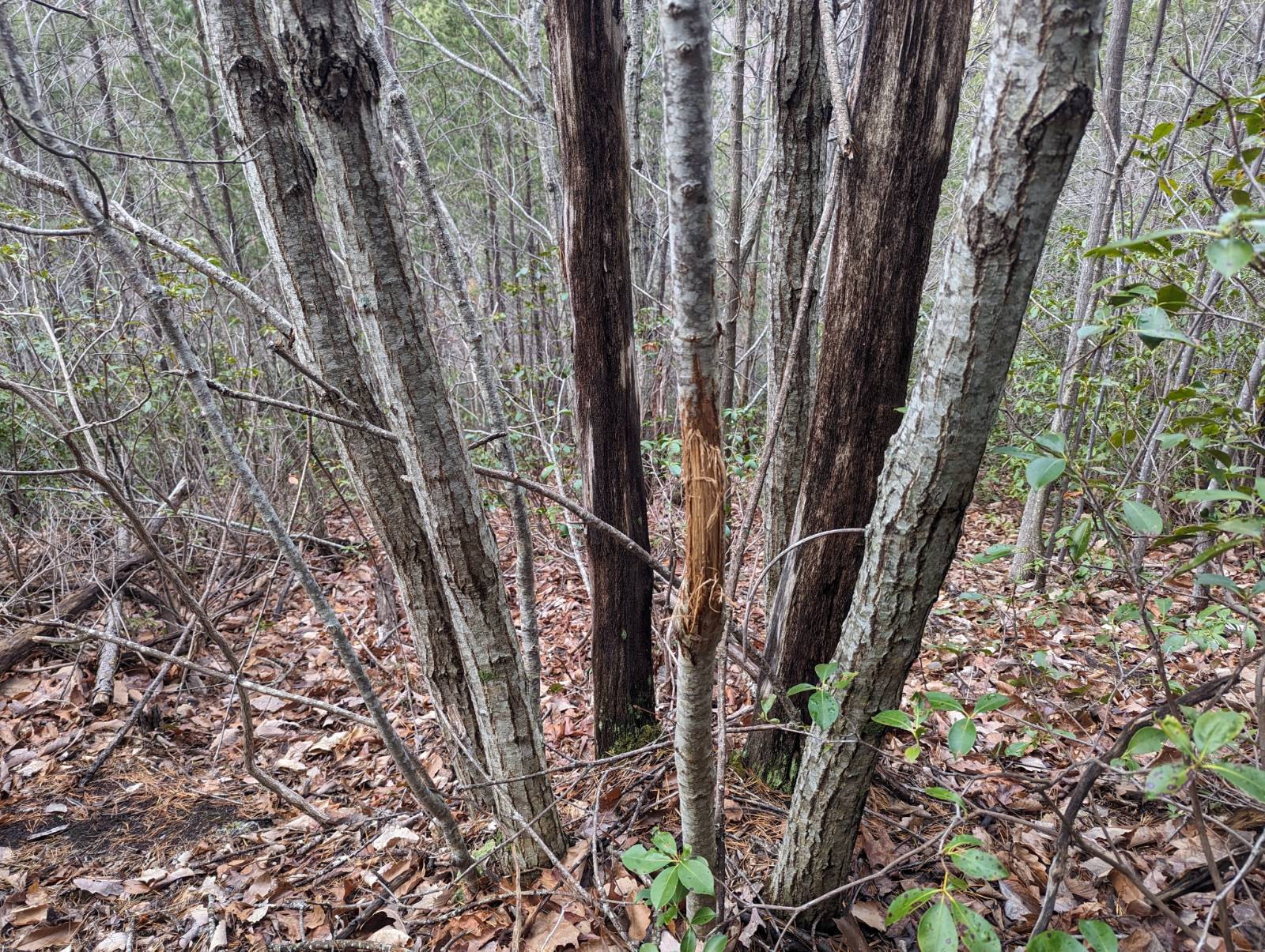
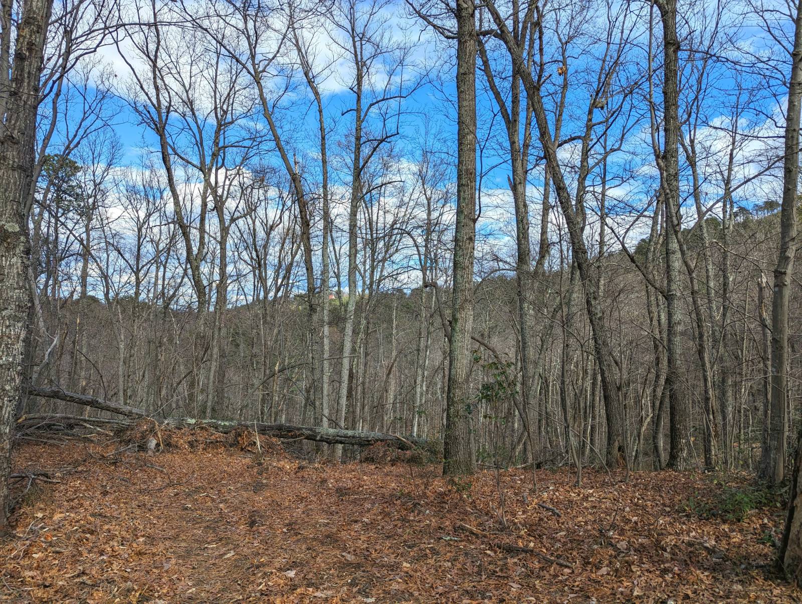
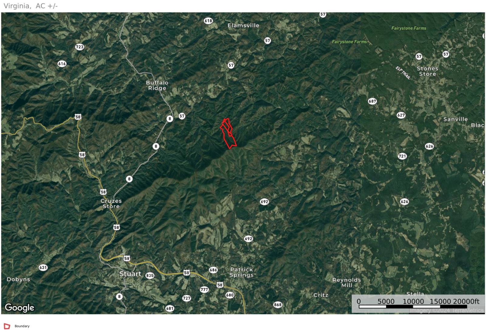
**AUCTION** List price is tax assessment value only. Selling price to be determined at auction. Bidding will start at $5,000. Property will be auctioned by Mountain Valley Auction Group via online-only auction. Online bidding will close at 1 PM ET on May 1, 2024. Property is being sold AS IS and is subject to a 10% buyer's premium pursuant to the terms and conditions. Please visit the Mountain Valley Auction Group website for a full list of auction information, including all terms and conditions. VAF1028 We are offering at online auction 145.7 +/- acres of land on Bull Mountain in Patrick County VA. This property is being offered in six separate tracts ranging in size from 7 acres to 45 acres. The property is situated along Old Hall Ridge Road and features world class panoramic views, multiple springs and streams, abundant wildlife and recreational opportunities, interior roads, and potential cabin or home sites on each tract. Even more recreational options are nearby with less than 10 miles to Fairystone State Park and Philpott Lake, 20 miles to the Blue Ridge Parkway and Meadows of Dan, and convenient access to the nearby towns of Stuart, Basset, and city of Martinsville VA. Tract #2 - is 24.837 +/- acres along Old Hall Ridge Rd beginning about 3,500 southwest of the intersection with Foley Ridge Rd. Old Hall Ridge Rd is a 50 ft right of way. Pole Branch is a year round stream that flows through this tract. Two potential cabin or home building sites have been cleared along with an interior road to provide access. Appalachian Power electric overhead lines are just a few hundred feet from the property boundary. This property features ideal wildlife habitat with mature hardwoods along with some new growth pines and mountain laurel thickets. New survey has just been completed and boundary lines are cut and flagged. This tract is a part of the proposed and approved division of the original 138.739 acre tax map parcel ID # 4914-97.


 ;
; ;
; ;
; ;
; ;
; ;
; ;
; ;
; ;
; ;
; ;
; ;
; ;
; ;
; ;
; ;
; ;
;