Sand Draw 50 Hot Springs County, Wyoming
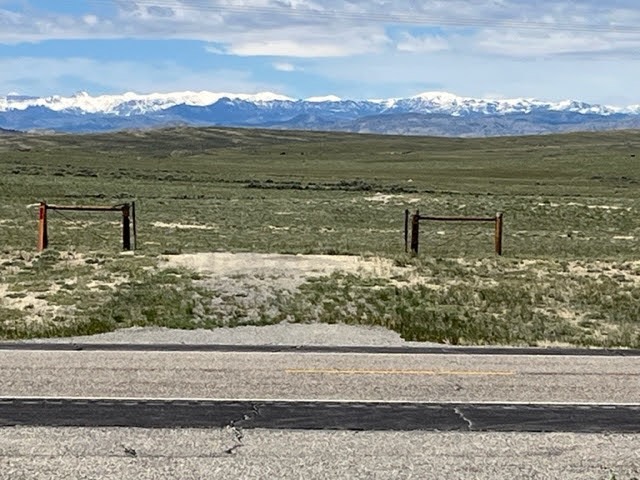
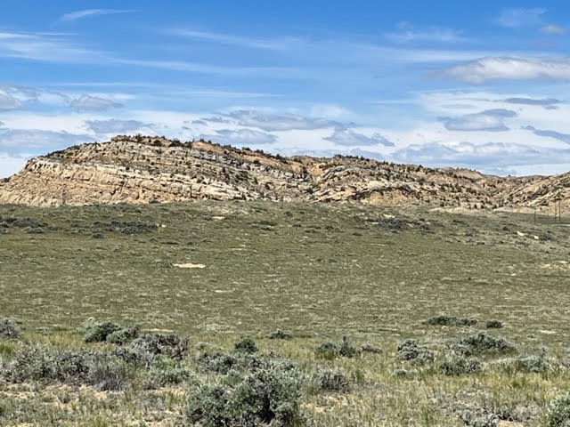
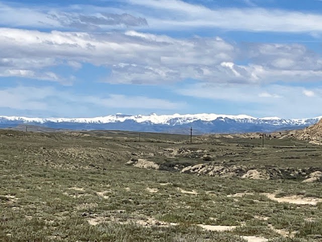
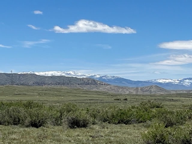
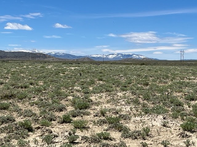
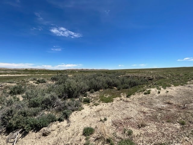
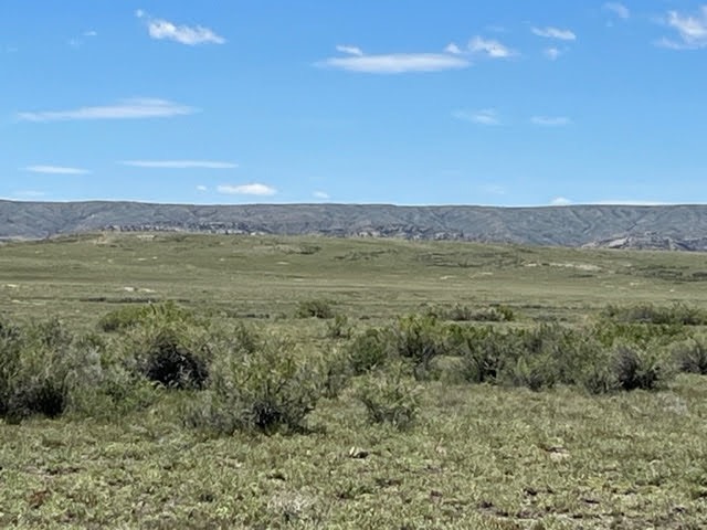
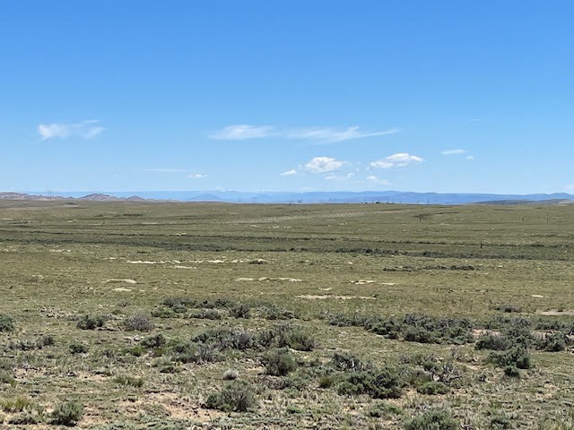
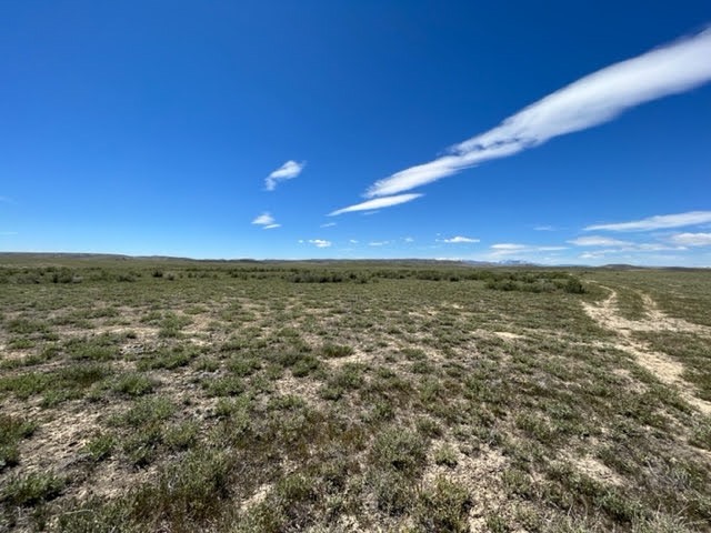
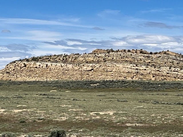
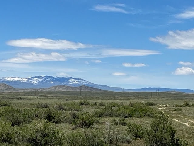
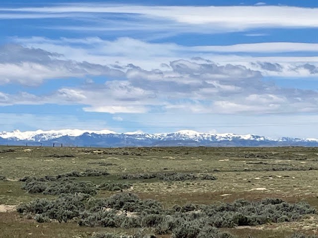
Location: The Sand Draw 50 Pasture is a 50+/- acre property located on the boundary of Highway 120 West, approximately 19 miles Northwest of Thermopolis. Highway 120 fronts the east boundary of the property. It is 19 miles to Thermopolis and 61 miles to Cody. Description: Located in the Bighorn Basin along the SE Absaroka Front, it is a typical native grass and salt sage range land in a high desert environment. Two sides border large block B.L.M lands providing uninterrupted views of the distant mountains. Elevation is approximately 5000 feet and it sits in a 5-8 inch annual moisture zone. The terrain is flat to rolling and the property is unfenced. Expansive views of the nearby sandstone buttes and Owl Creek mountains provide a scenic Northwestern Wyoming vista. The basin normally has seasonally mild year around climate. Access and Utilities: Highway 120 West provides access on the property boundary. It is 19 minutes from Thermopolis and about an hour from Cody. Power is accessible along the highway. Larger vacant land parcels with access to vast tracts of public lands,power, and access are rare in the area. Wildlife: Antelope, Mule Deer, Sage Grouse, as well as a variety of upland birds and small predators are common on the property.