TBD Rock Ave, Burns, OR 97720

7 Photos
 
$120,000
Active for Sale
8.14 Acres
 
Listing ID 11269720
Property Type Vacant Land
County Harney
Total Tax $968
FEMA Flood Map fema.gov/portal
   
Associated Documents
DOCUMENTFact Sheet
 
Virtual Tour

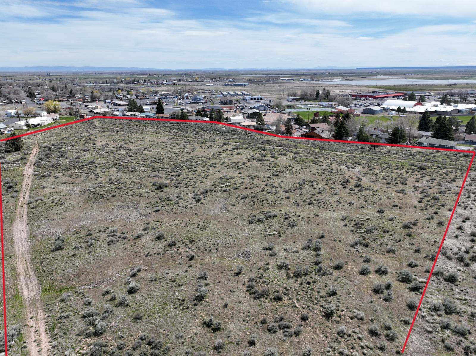
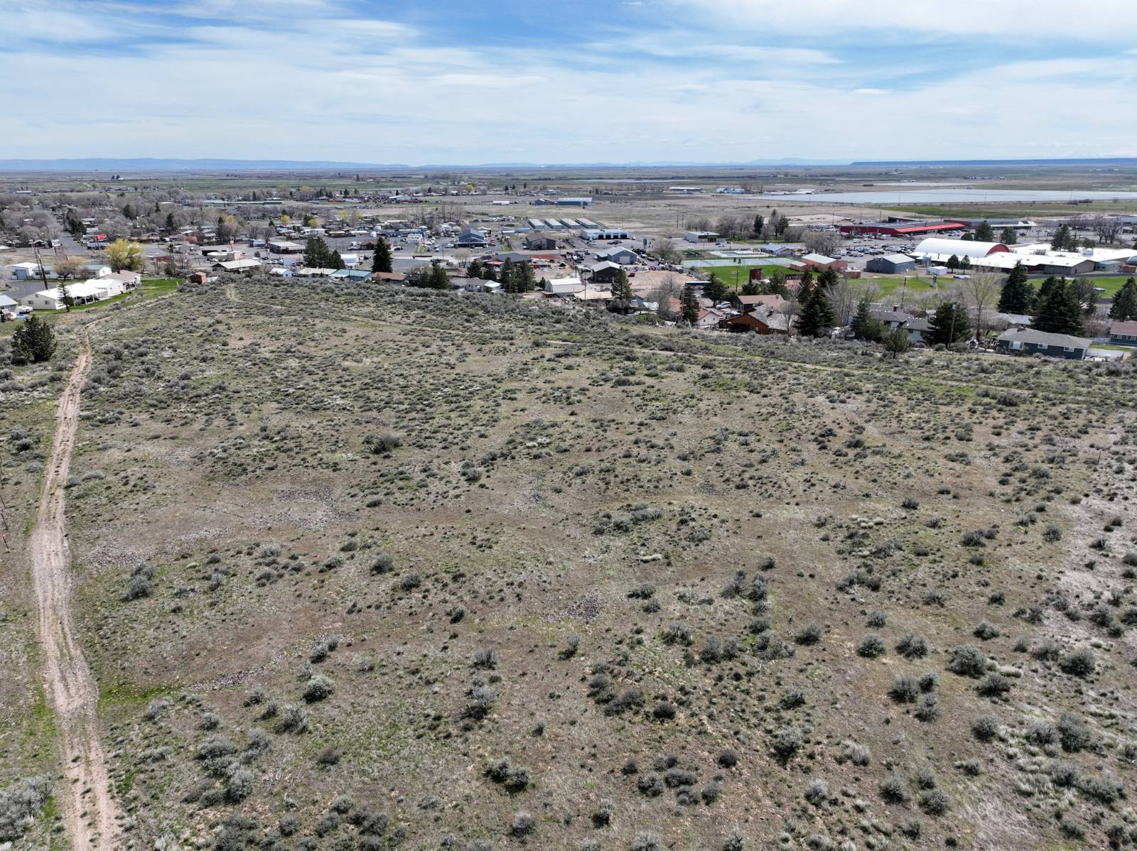
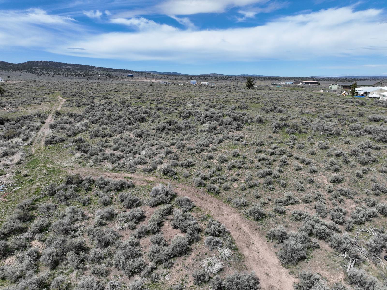
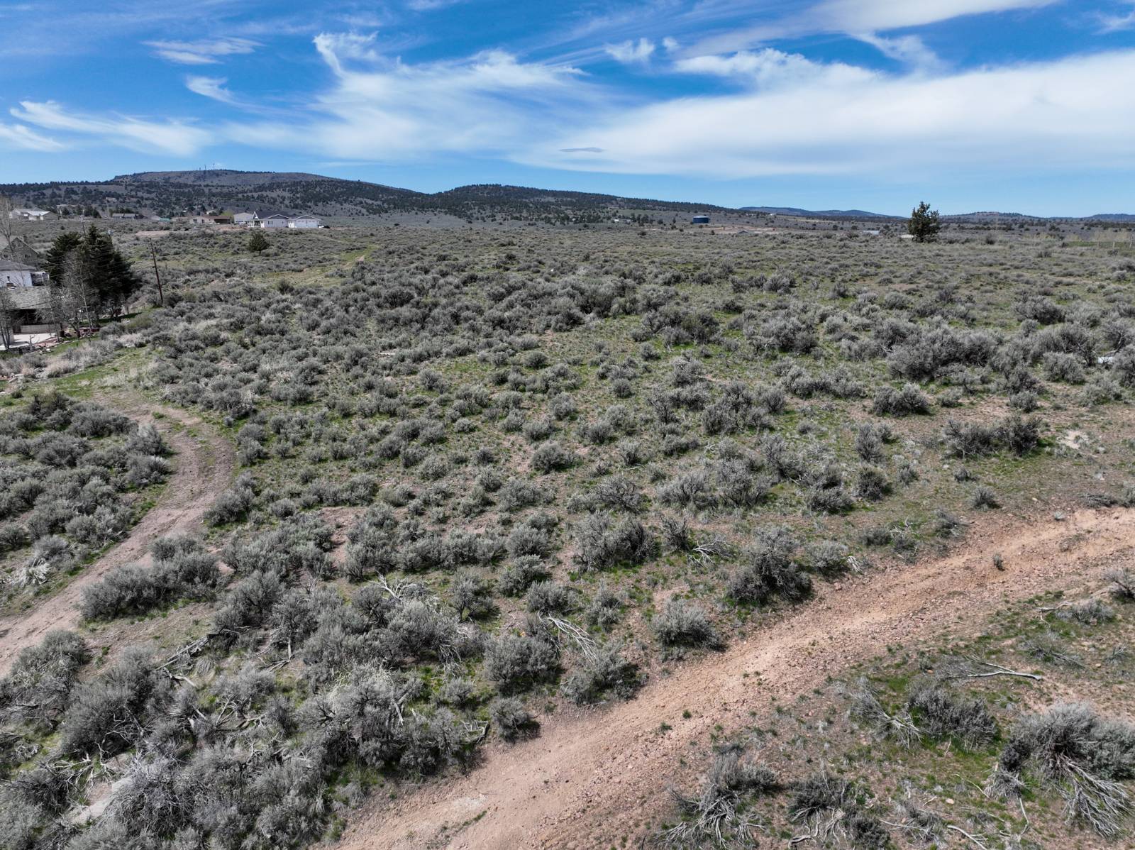
Eastern Oregon Residential Lot

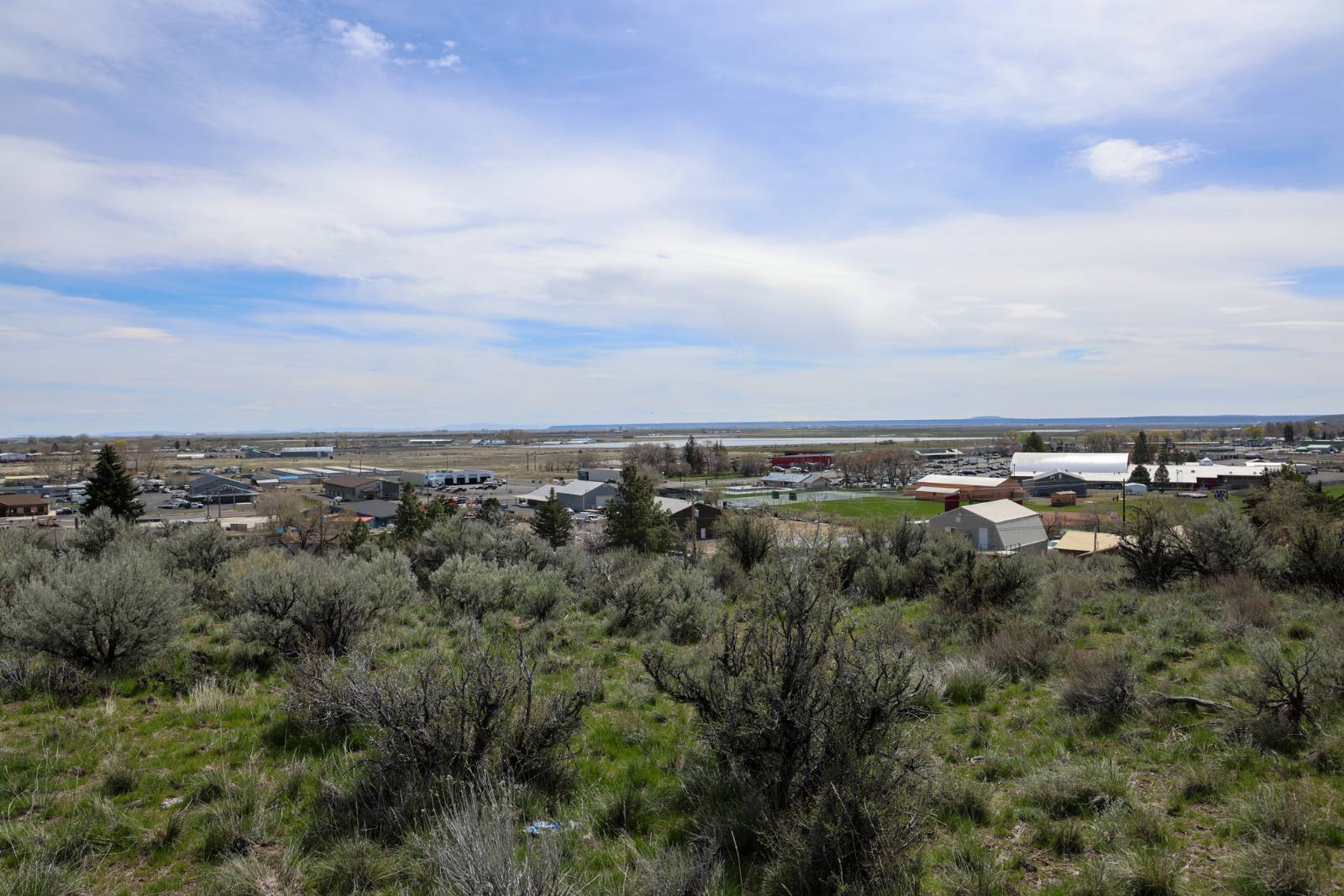
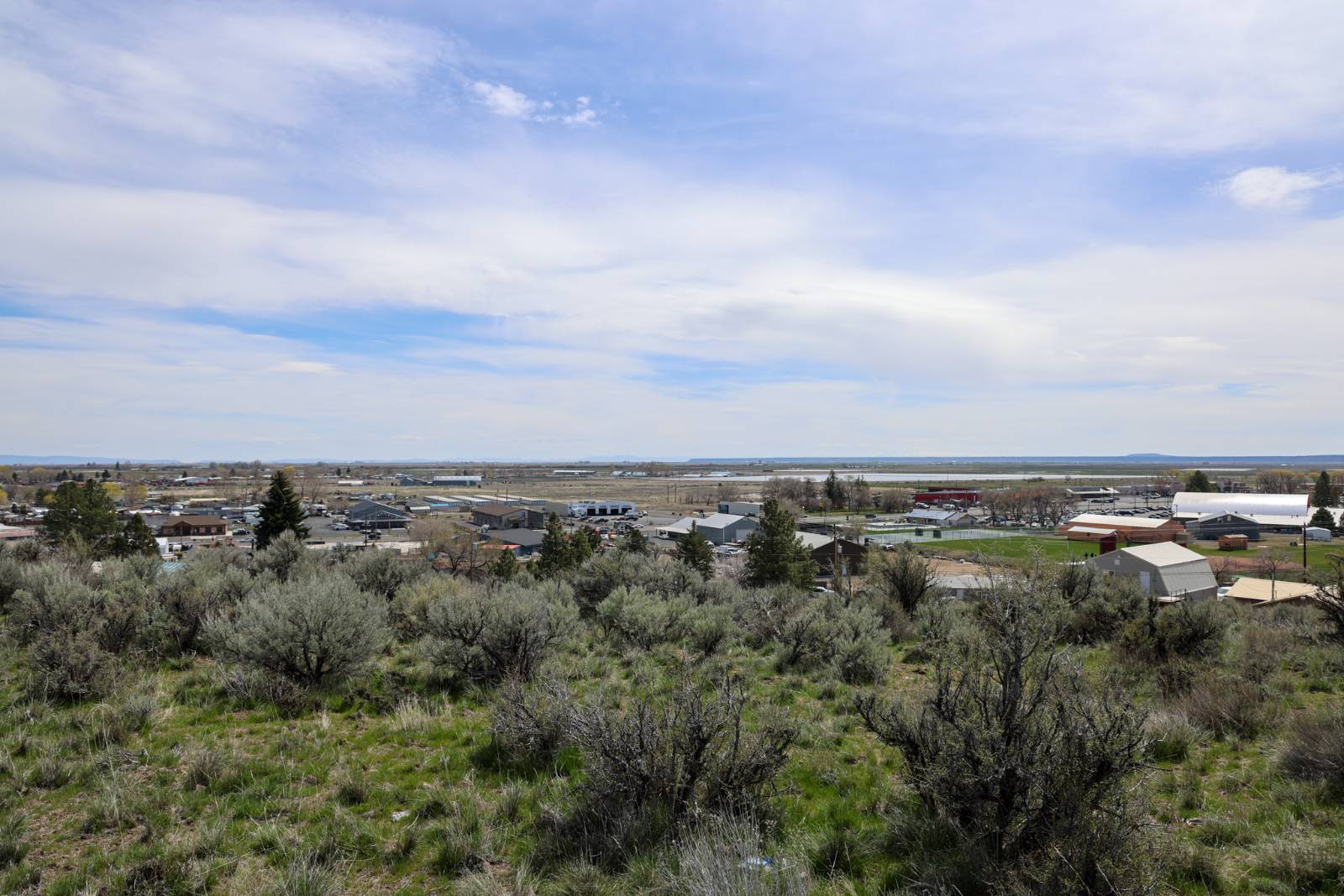
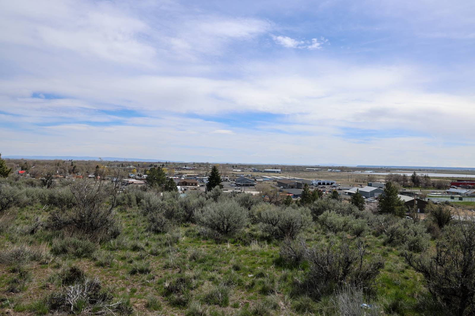
Located right above the high school & overlooking the athletic facilities, this Eastern Oregon lot is large & located in Burns City Limits. The 8.14 acres is accessed off the corner of Rock Avenue & W Fillmore Street, with city services along W Fillmore & power spanning the southern property border. Located centrally in Burns, it would make a fantastic homesite with close proximity to the hospital, grocery stores, schools, & government agencies. Make this land your future homesite! For additional questions on building possibilities or service locations contact listing brokers. LOT: Power runs along the south boundary & city services are located nearby. , LOT SIZE: 8.14 acres (+/-), TAXES: $968.05 (2023 Tax Year Before Property Line Adjustment), FINANCES: Cash or Bank Financing
Land Details
  • 8.14 Acres
Taxes and Fees
  • $968 Total Tax
Listed By
Jett Blackburn Real Estate Inc.
Office: 541-413-5774
Jett Blackburn Real Estate Inc.
Office: 541-413-5777
Request More Information
Request Showing
Your Preferred Date & Time
Showing Type:
Request Cobroke

If you're not a member, fill in the following form to request cobroke participation.

Listing data is deemed reliable but is NOT guaranteed accurate.
Contact Us
Who Would You Like to Contact Today?

I want to contact an agent about this property!

I wish to provide feedback about the website functionality

Contact Agent
Your Name:
Email:
Phone:
Message:
Security: What is 8 plus 3?