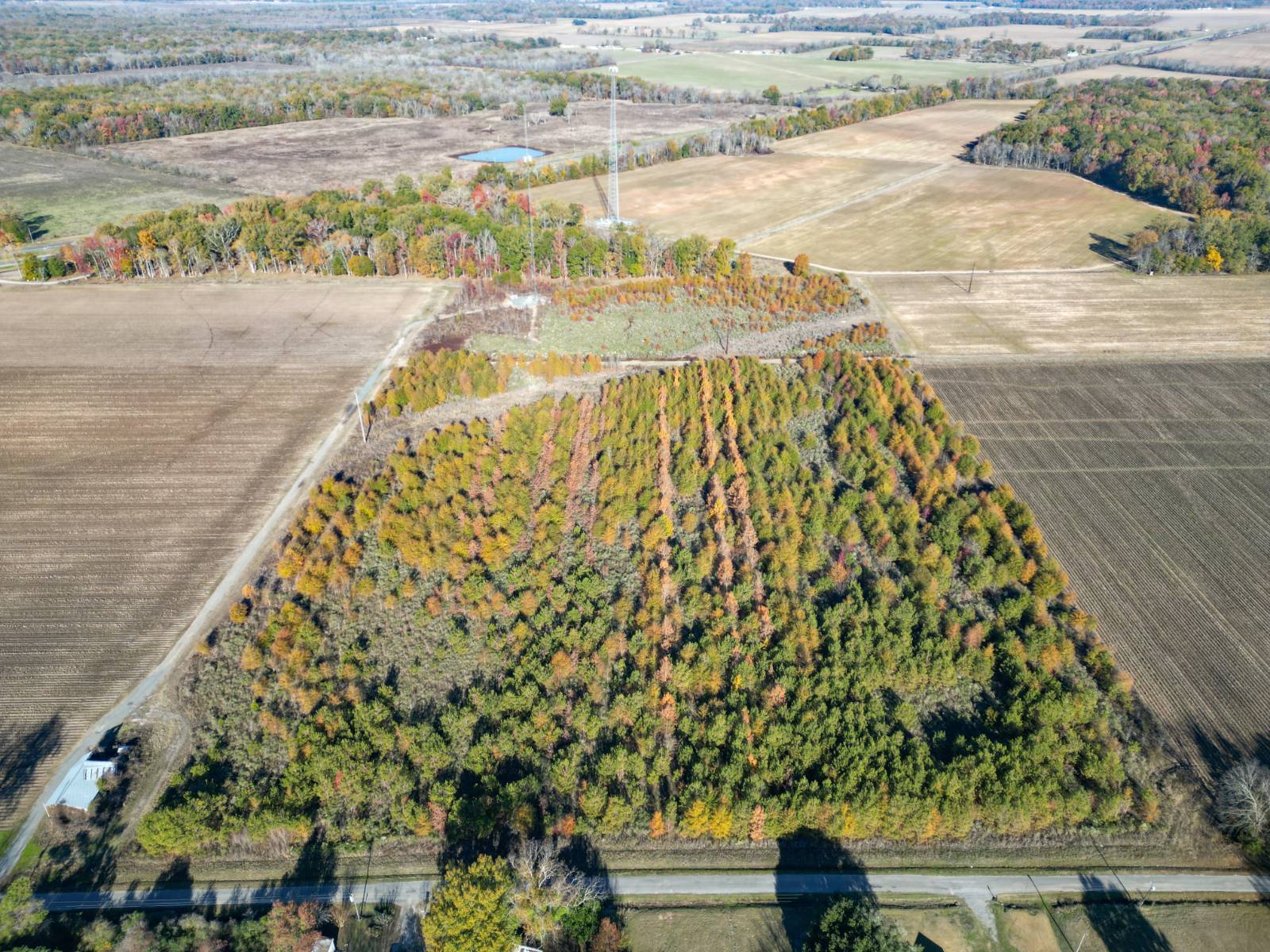
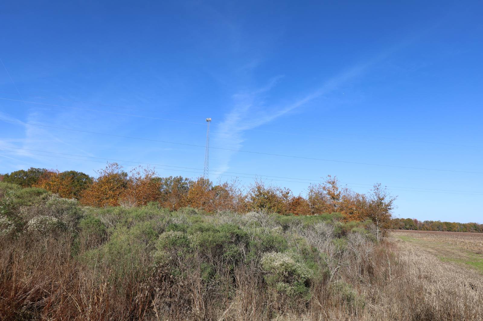
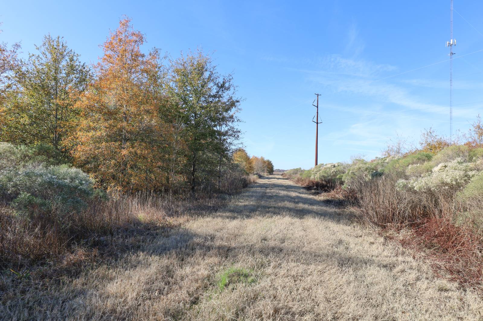
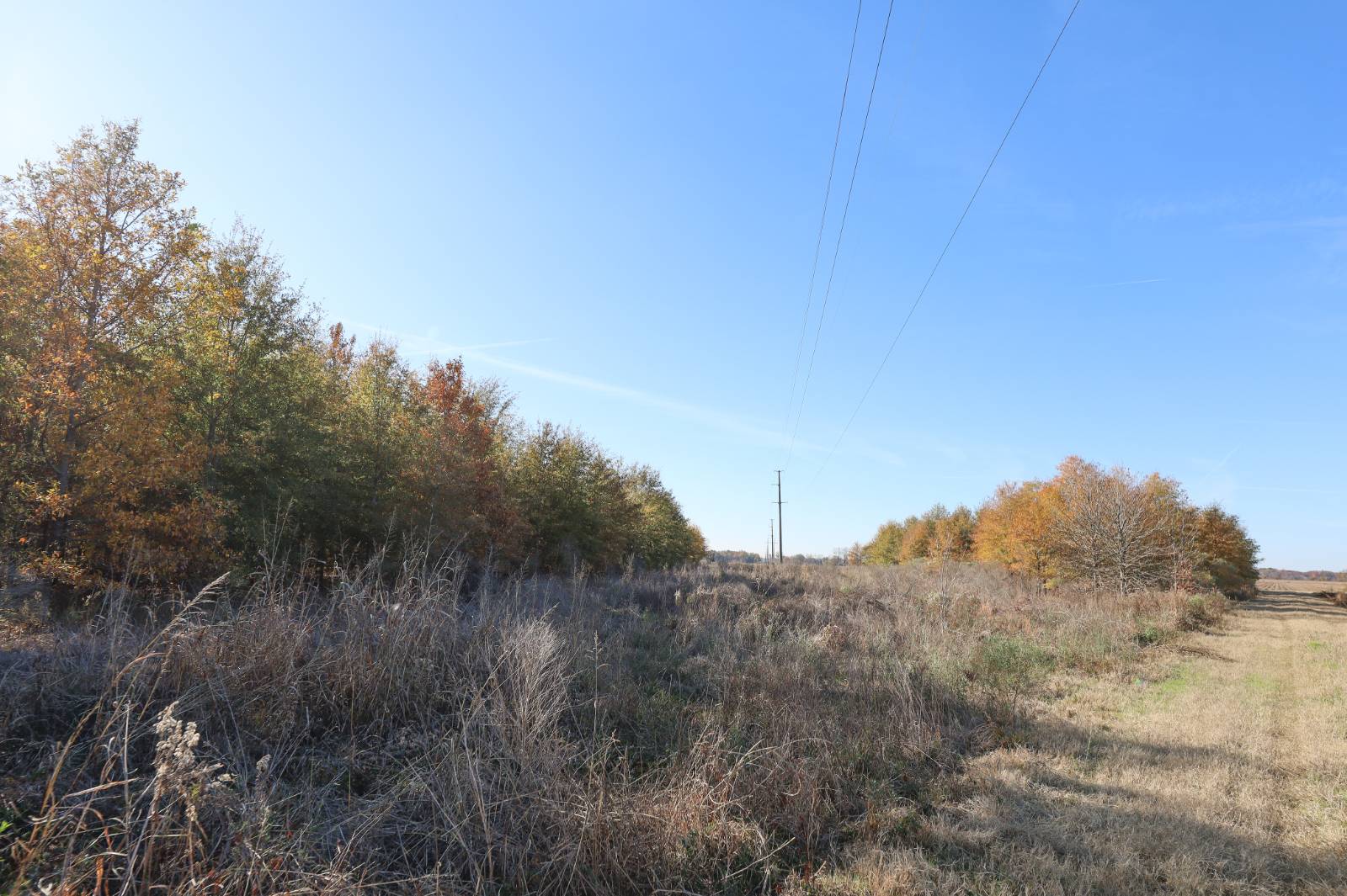
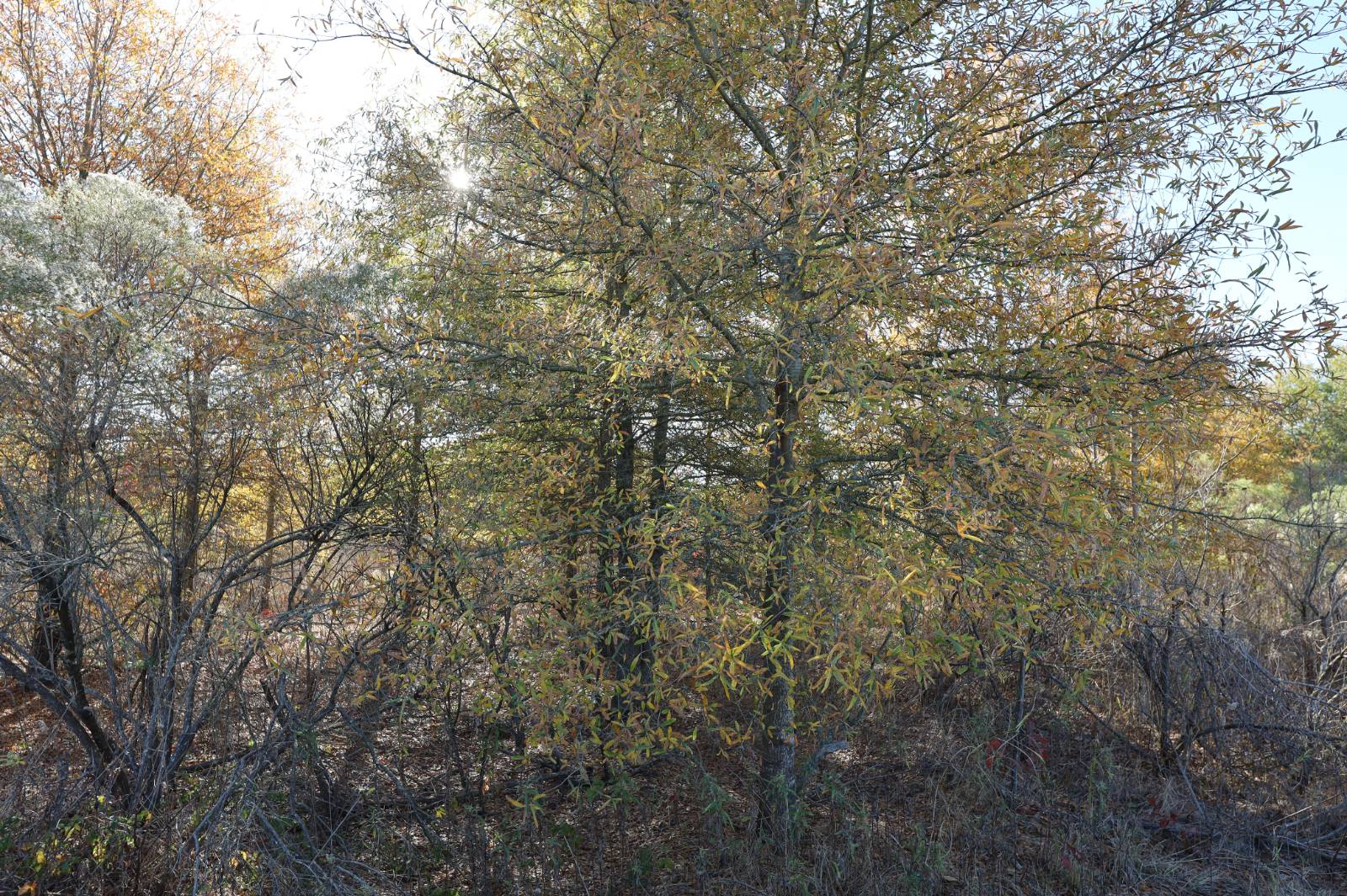
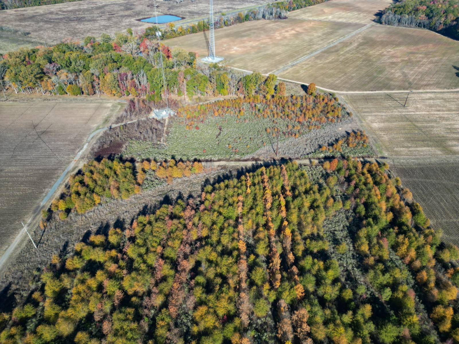
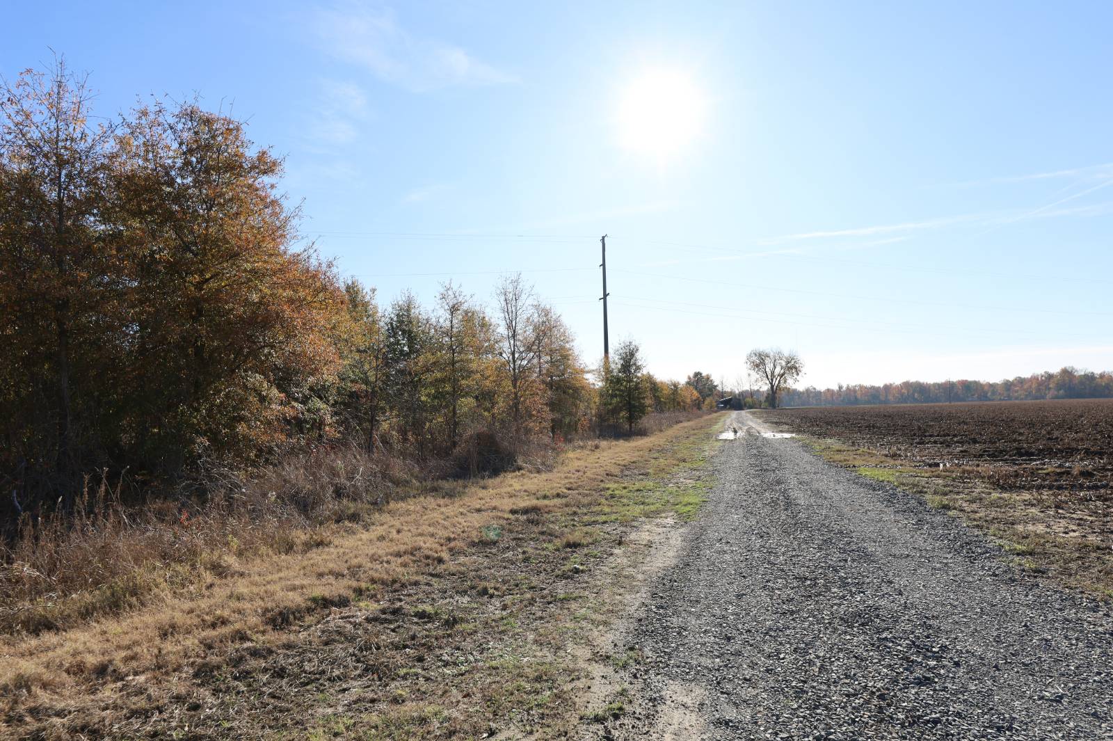
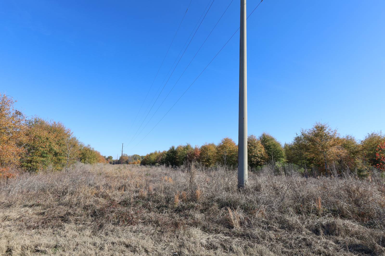
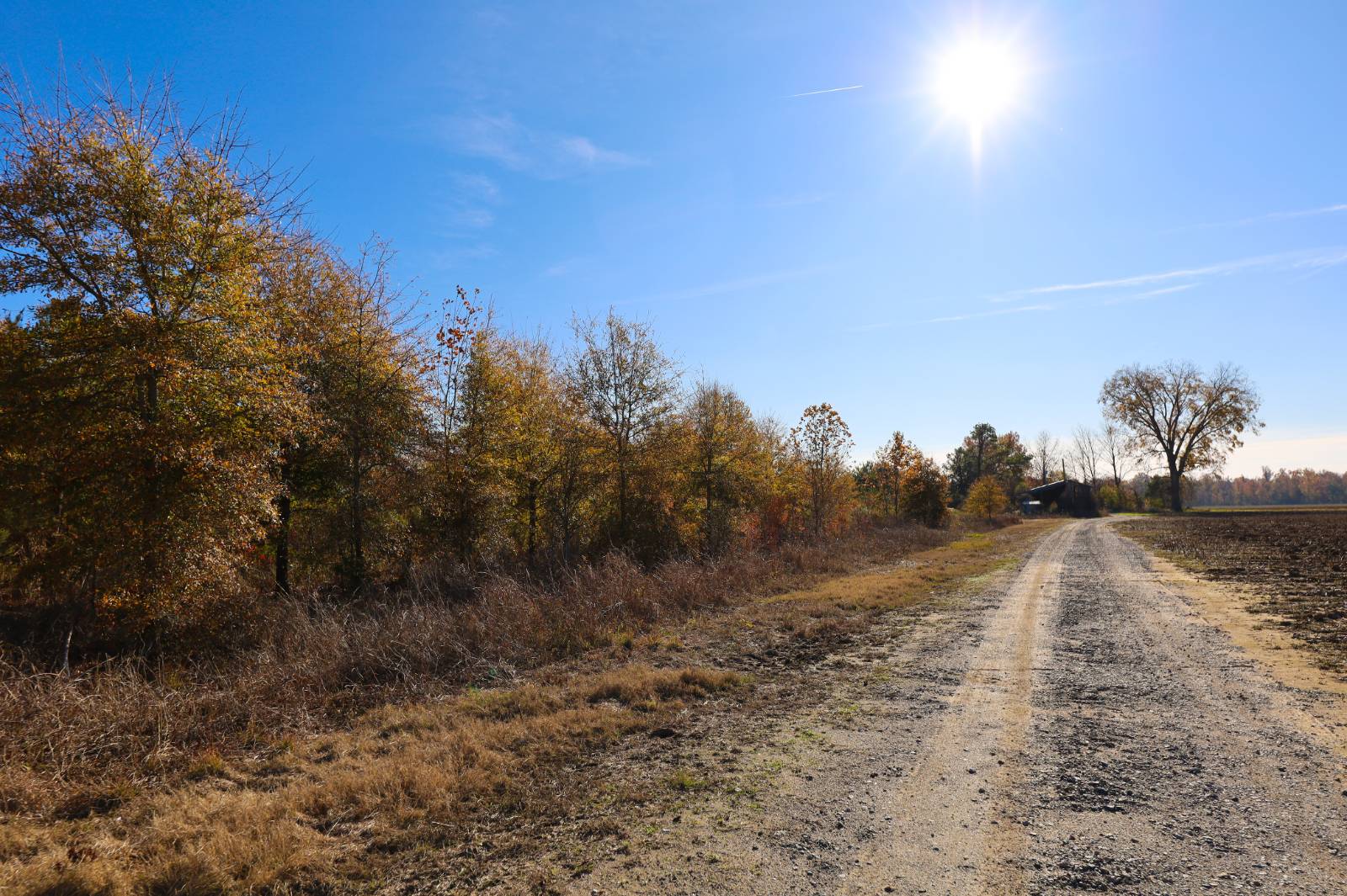
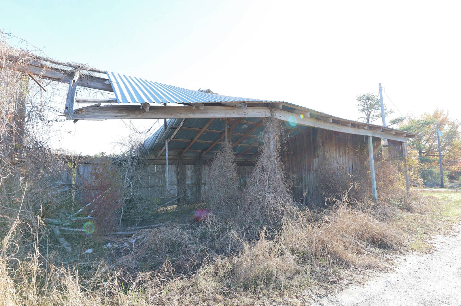
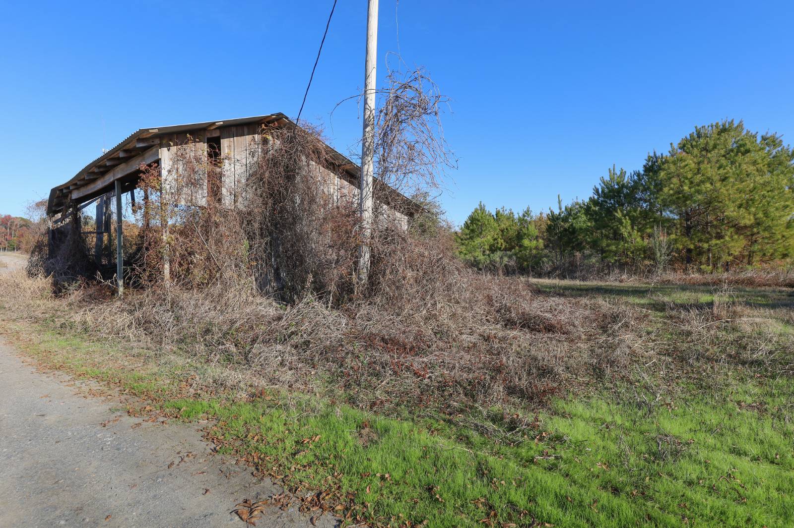
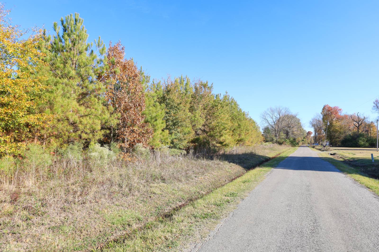
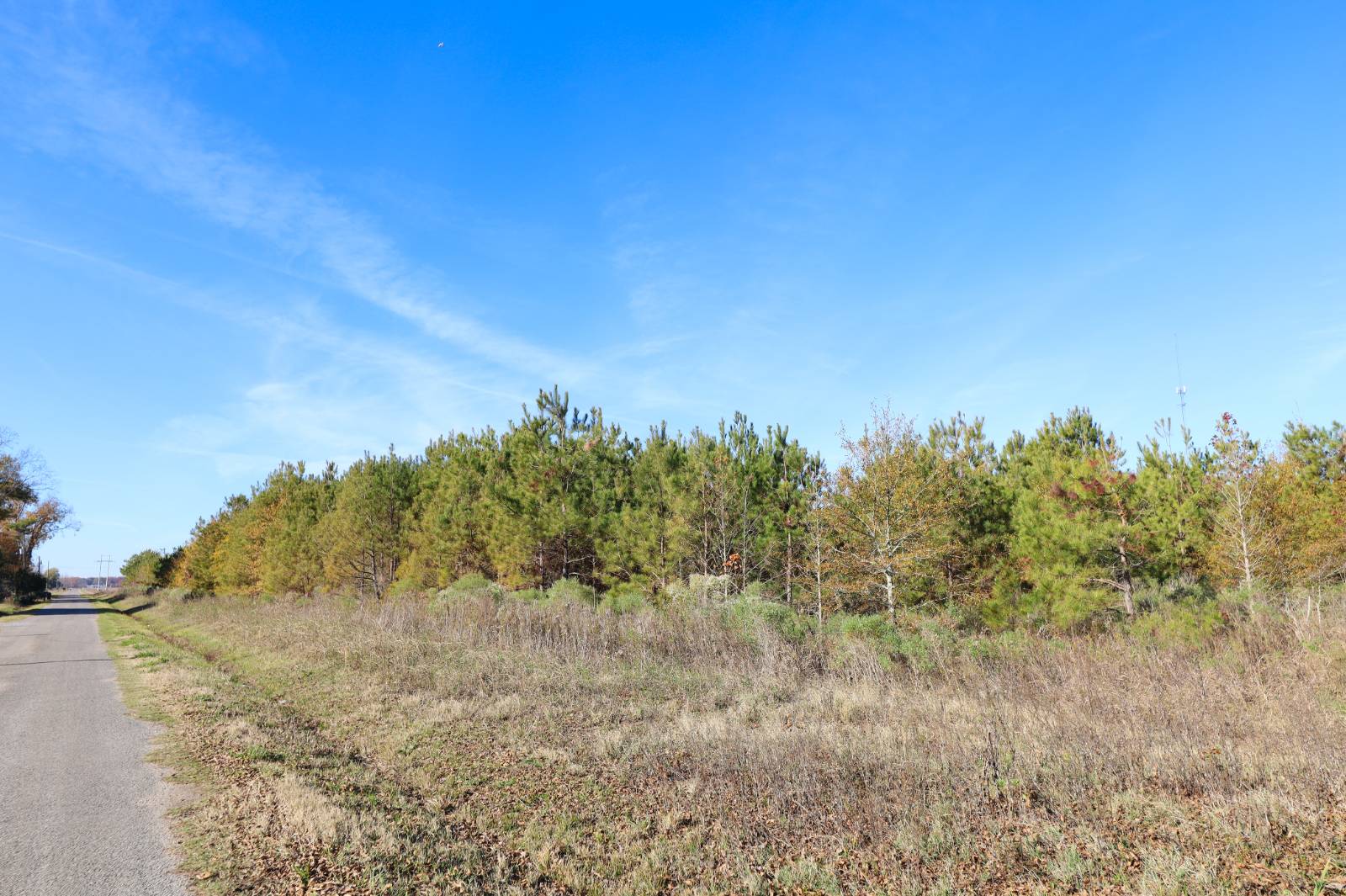
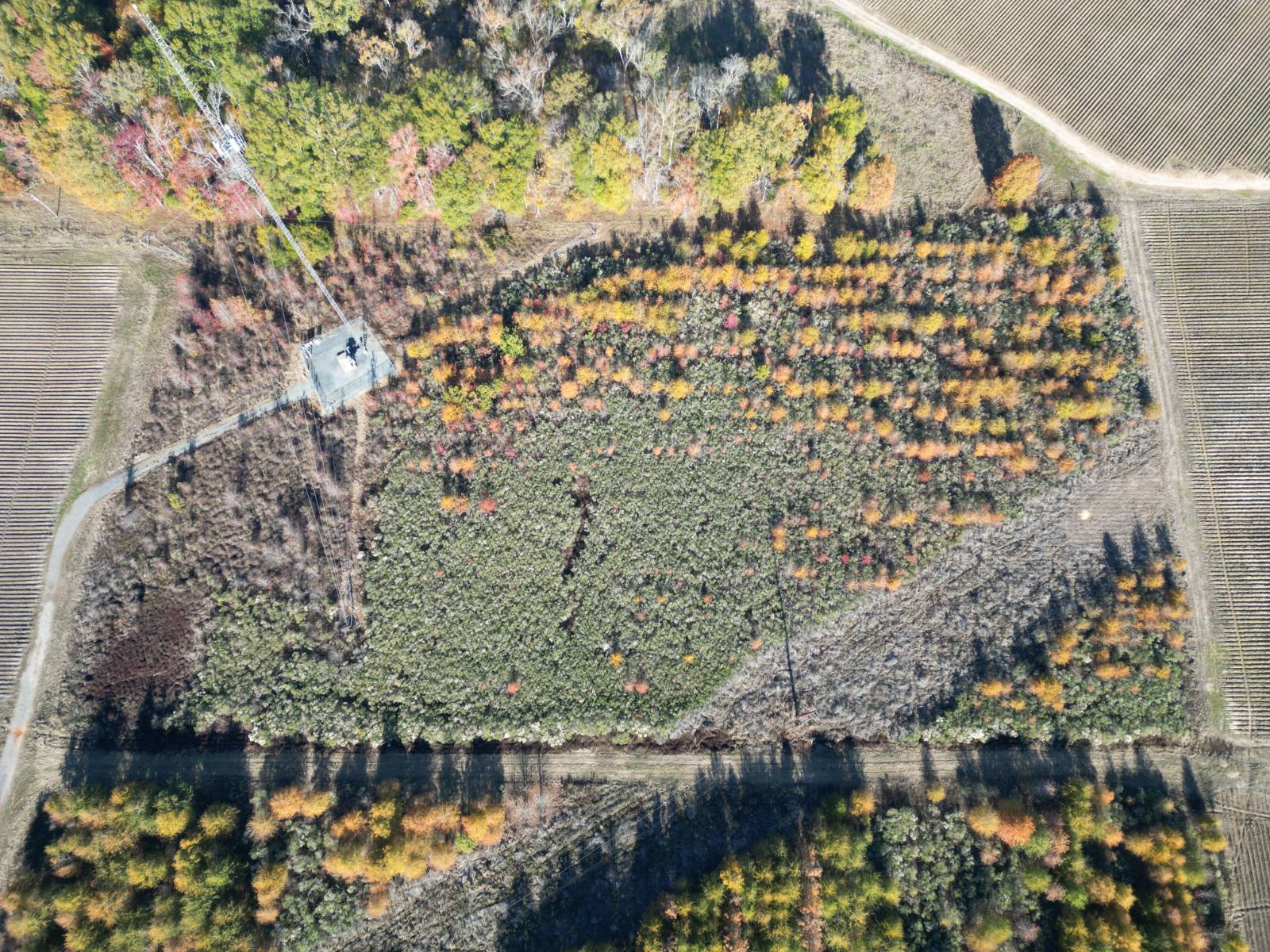
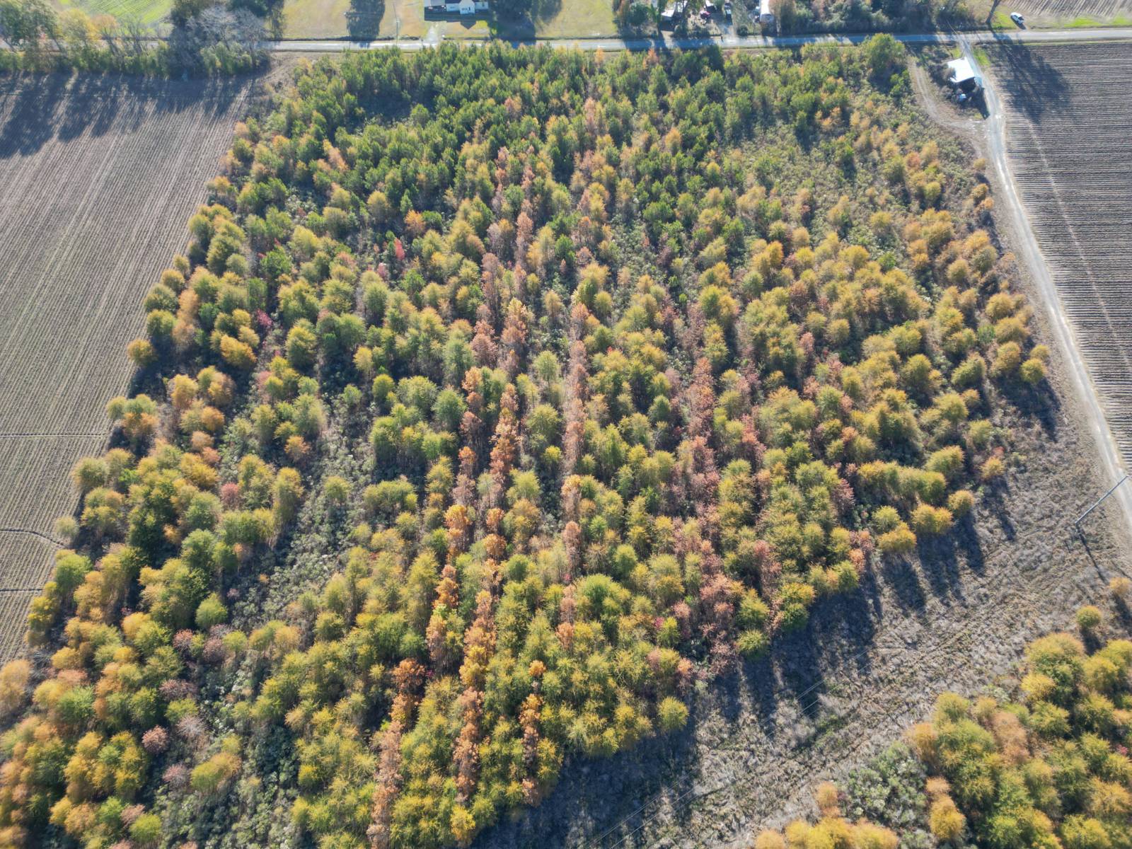
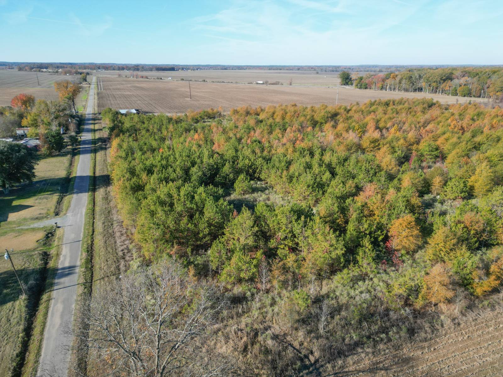
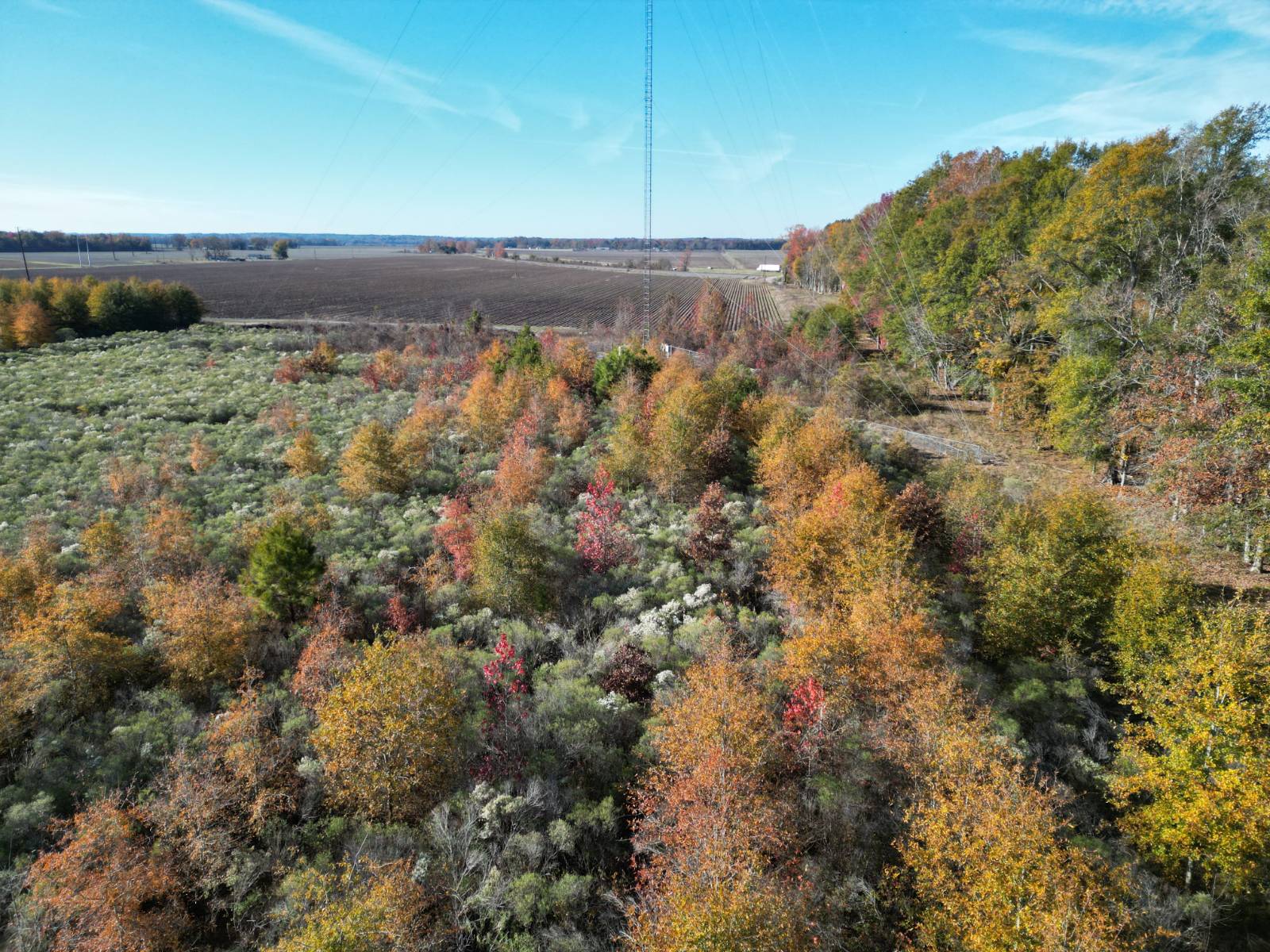
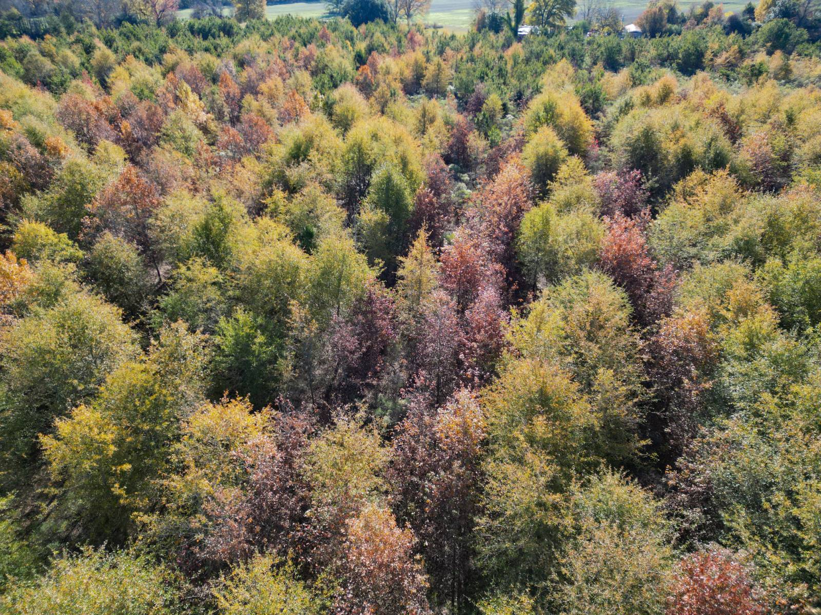
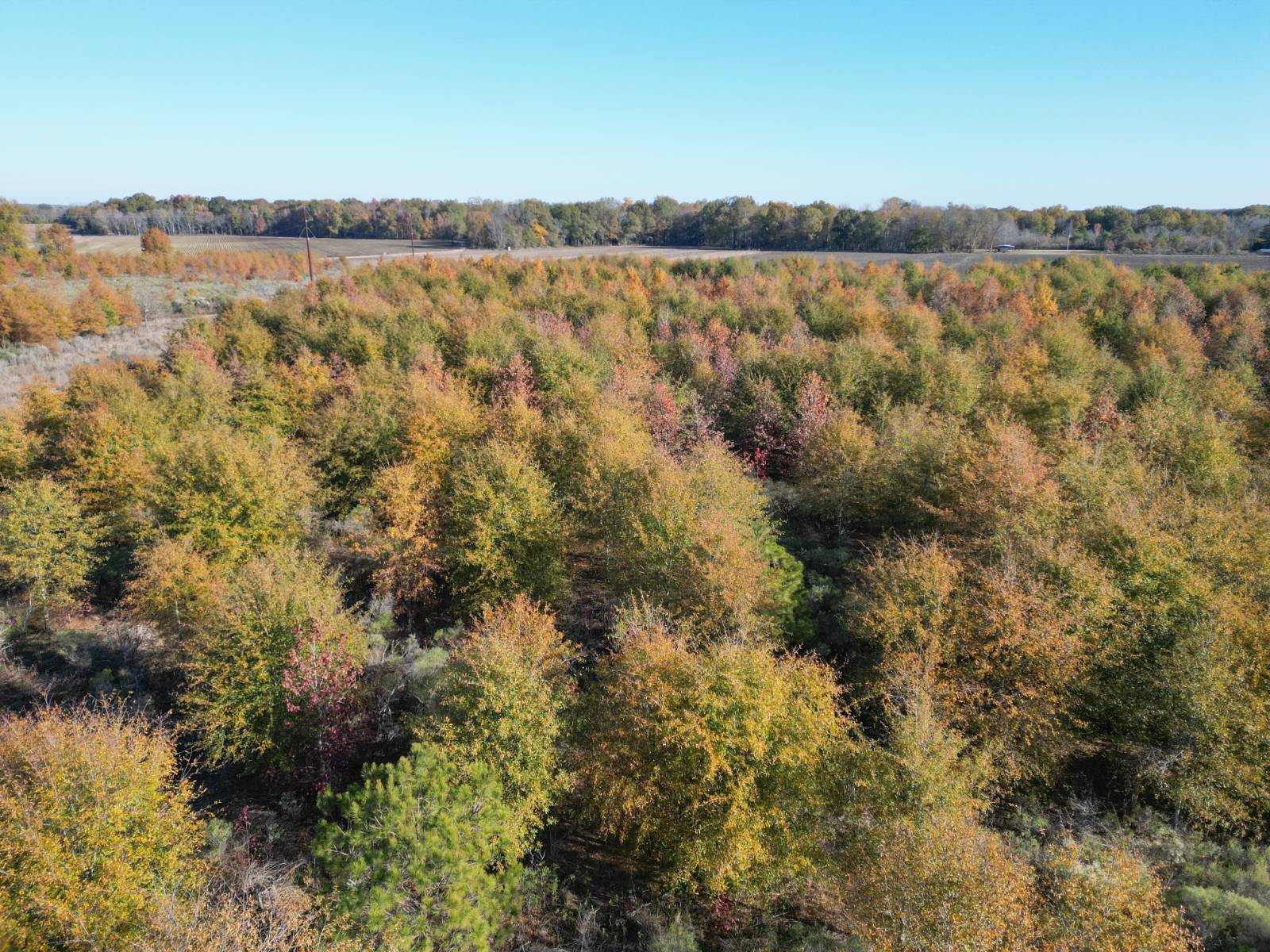
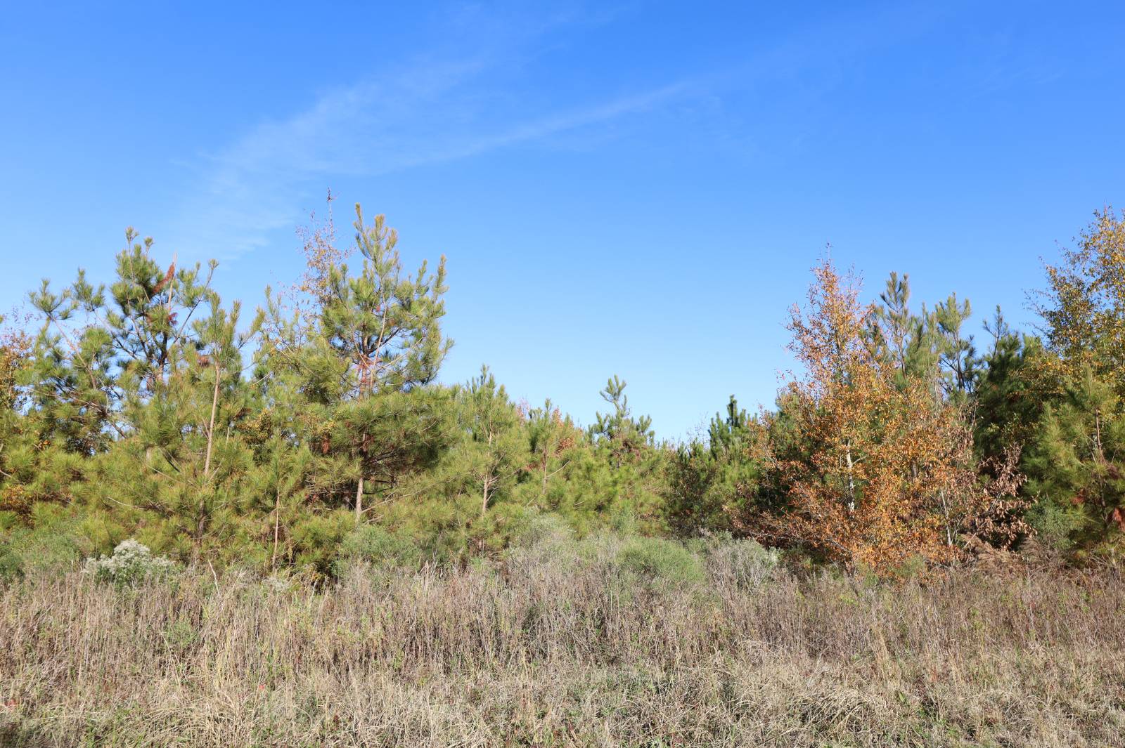
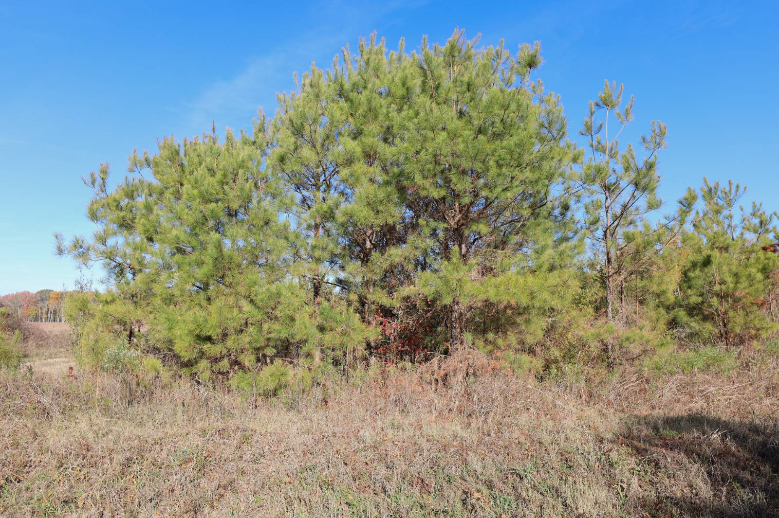
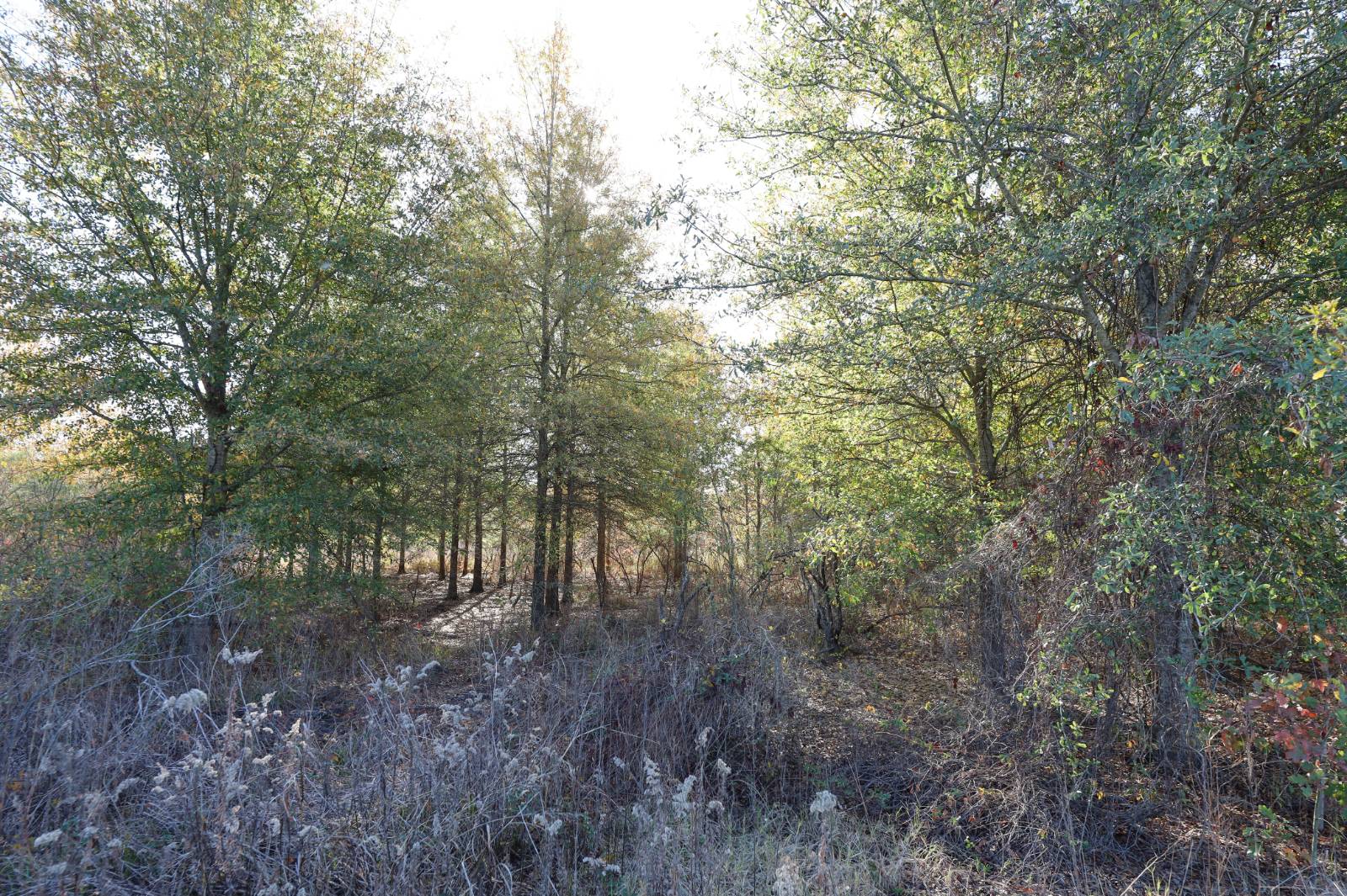
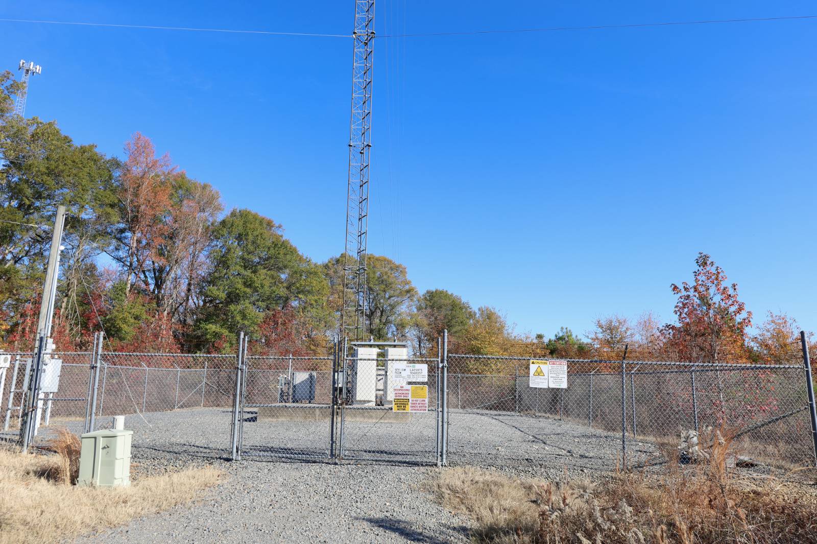
TBD Sampson Rd., Columbia, LA 71418
$140,000
Active for Sale
Virtual Tour
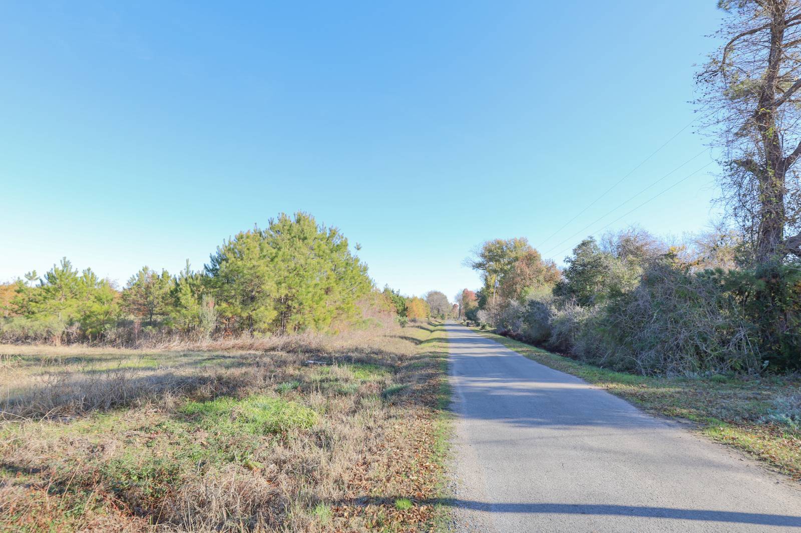
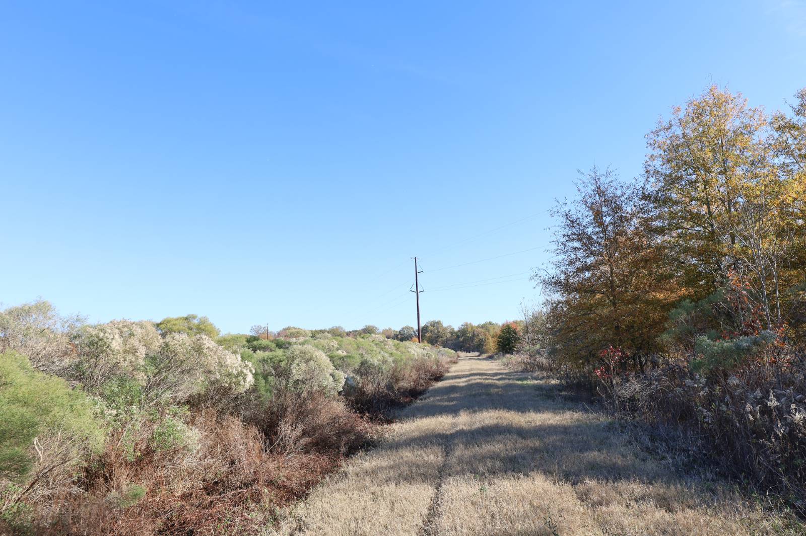
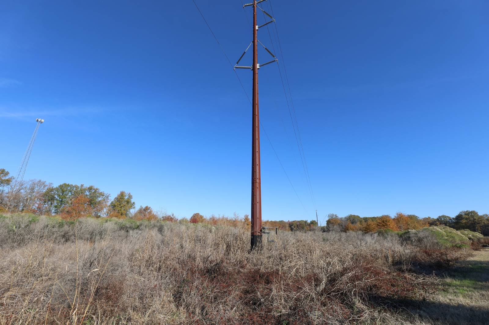
Land Details
Exterior Features
Listed By
Request More Information
Request Showing
Listing data is deemed reliable but is NOT guaranteed accurate.
|
|||||||||||||||||||||||||||||||||||||

 ;
; ;
; ;
; ;
; ;
; ;
; ;
; ;
; ;
; ;
; ;
; ;
; ;
; ;
; ;
; ;
; ;
; ;
; ;
; ;
; ;
; ;
; ;
; ;
; ;
;Contact Us
Who Would You Like to Contact Today?
I want to contact an agent about this property!
I wish to provide feedback about the website functionality
Contact Agent